File:Lagekarte IL-JO-PS.png
Jump to navigation
Jump to search
Size of this preview: 644 × 599 pixels. Other resolutions: 258 × 240 pixels | 516 × 480 pixels | 821 × 764 pixels.
Original file (821 × 764 pixels, file size: 91 KB, MIME type: image/png)
Captions
Captions
Add a one-line explanation of what this file represents

|
This map image could be re-created using vector graphics as an SVG file. This has several advantages; see Commons:Media for cleanup for more information. If an SVG form of this image is available, please upload it and afterwards replace this template with
{{vector version available|new image name}}.
It is recommended to name the SVG file “Lagekarte IL-JO-PS.svg”—then the template Vector version available (or Vva) does not need the new image name parameter. |
Summary
[edit]
| Description |
|
| Date | see file history |
| Source | Own work, using World map by Canuckguy and others |
| Author | Maximilian Dörrbecker (Chumwa) |
| Permission (Reusing this file) |
I, the copyright holder of this work, hereby publish it under the following license: This file is licensed under the Creative Commons Attribution-Share Alike 2.5 Generic license.
Sie dürfen das Bild zu den folgenden Bedingungen nutzen:
|
File history
Click on a date/time to view the file as it appeared at that time.
| Date/Time | Thumbnail | Dimensions | User | Comment | |
|---|---|---|---|---|---|
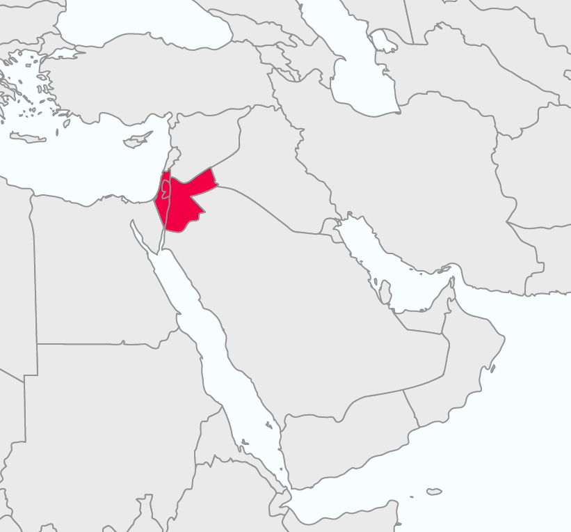
| current | 19:50, 13 May 2015 | | 821 × 764 (91 KB) | Chumwa (talk | contribs) | {{Information |Description= *{{de|Kombinierte Lagekarte von Israel, Jordanien und den Palästinensischen Autonomiegebieten}} *{{en|Combined locator map of Israel, Jordan and thze Palestinian Territories}} |Source={{own}}, using [[:File:BlankMap-World6... |
You cannot overwrite this file.
File usage on Commons
The following page uses this file:
File usage on other wikis
The following other wikis use this file:
- Usage on de.wikipedia.org
- Usage on es.wikipedia.org
- Usage on it.wikipedia.org