File:Lac de Pérolles - Pérolles-See 002.jpg
Jump to navigation
Jump to search

Size of this preview: 760 × 600 pixels. Other resolutions: 304 × 240 pixels | 608 × 480 pixels | 973 × 768 pixels | 1,280 × 1,010 pixels | 2,560 × 2,020 pixels | 4,199 × 3,314 pixels.
Original file (4,199 × 3,314 pixels, file size: 2.12 MB, MIME type: image/jpeg)
Captions
Captions
Add a one-line explanation of what this file represents
Summary
[edit]| Description |
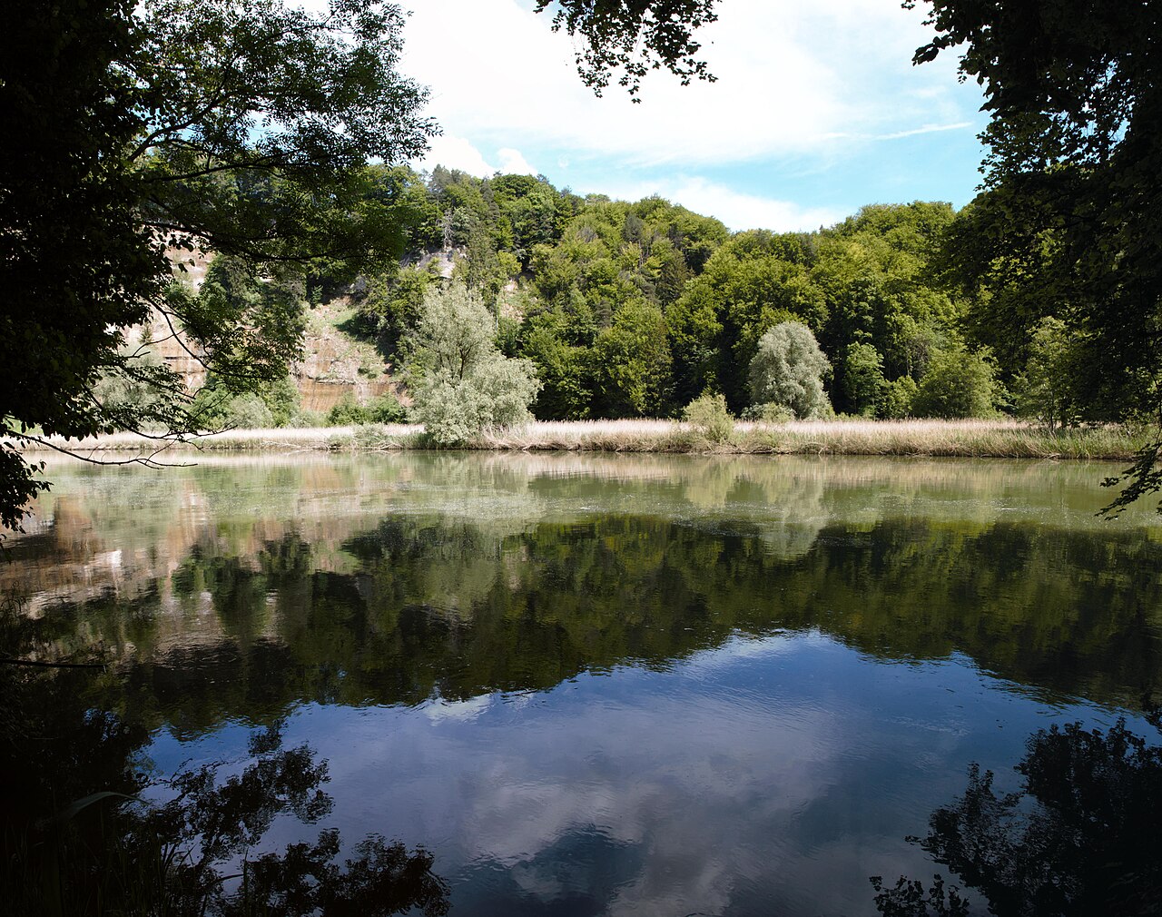
Deutsch: Blick über den gestauten Pérolles-See, gesäumt von Felswänden, Wald und Schilfgürteln. Der Pérolles-See stellt ein international und national bedeutendes Wasser- und Zugvogelreservat dar. Darüber hinaus ist es Teil des national bedeutenden Auengebiets La Sarine. Rossens - Fribourg.
Français : Vue sur le lac de Pérolles endigué, bordé de parois rocheuses, de forêts et de bandes de roseaux. Le lac de Pérolles constitue une réserve d'oiseaux aquatiques et migrateurs d'importance internationale et nationale. En outre, il fait partie de la zone alluviale d'importance nationale La Sarine. Rossens - Fribourg.
English: View over the dammed Lake Pérolles, lined with rock faces, forest and reed beds. Lake Pérolles is an internationally and nationally important water and migratory bird reserve. It is also part of the nationally important floodplain area of La Sarine. Rossens - Fribourg. |
||||
| Protected |
|
||||
| Date | |||||
| Source | Own work | ||||
| Author | Martin Thurnherr | ||||
| Permission (Reusing this file) |
|
||||
| Panorama |
|


| Object location | | View this and other nearby images on: OpenStreetMap |
|---|
Licensing
[edit]
I, the copyright holder of this work, hereby publish it under the following license:
This file is licensed under the Creative Commons Attribution-Share Alike 4.0 International license.
Attribution: Martin Thurnherr
- You are free:
- to share – to copy, distribute and transmit the work
- to remix – to adapt the work
- Under the following conditions:
- attribution – You must give appropriate credit, provide a link to the license, and indicate if changes were made. You may do so in any reasonable manner, but not in any way that suggests the licensor endorses you or your use.
- share alike – If you remix, transform, or build upon the material, you must distribute your contributions under the same or compatible license as the original.
File history
Click on a date/time to view the file as it appeared at that time.
| Date/Time | Thumbnail | Dimensions | User | Comment | |
|---|---|---|---|---|---|
| current | 18:42, 28 May 2024 | | 4,199 × 3,314 (2.12 MB) | Matutinho (talk | contribs) | Uploaded own work with UploadWizard |
You cannot overwrite this file.
File usage on Commons
There are no pages that use this file.
File usage on other wikis
The following other wikis use this file:
- Usage on de.wikipedia.org