File:Lünersee - panoramio (3).jpg
Jump to navigation
Jump to search

Size of this preview: 800 × 600 pixels. Other resolutions: 320 × 240 pixels | 640 × 480 pixels | 1,024 × 768 pixels | 1,280 × 960 pixels | 2,560 × 1,920 pixels | 4,608 × 3,456 pixels.
Original file (4,608 × 3,456 pixels, file size: 9.74 MB, MIME type: image/jpeg)
Captions
Captions
Add a one-line explanation of what this file represents
Summary
[edit].jpg&action=edit§ion=1)
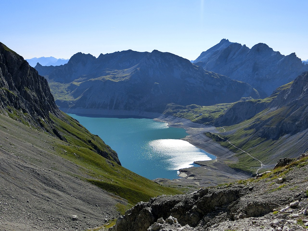
| Description | Lünersee | ||
| Date | Taken on 30 August 2015 | ||
| Source | https://web.archive.org/web/20161030175848/http://www.panoramio.com/photo/126893586 | ||
| Author | Thomas Loß | ||
| Permission (Reusing this file) |
This file is licensed under the Creative Commons Attribution-Share Alike 3.0 Unported license. Attribution: Thomas Loß
|
||
| Panoramio Tags | Vandans, 2015, Vorarlberg, Österreich |
| Camera location | | View this and other nearby images on: OpenStreetMap |
|---|
.jpg¶ms=047.053301_N_0009.731022_E_globe:Earth_type:camera_source:Panoramio_&language=en)
| Annotations | This image is annotated: View the annotations at Commons |
.jpg)
File history
Click on a date/time to view the file as it appeared at that time.
| Date/Time | Thumbnail | Dimensions | User | Comment | |
|---|---|---|---|---|---|
| current | 12:21, 20 June 2017 | | 4,608 × 3,456 (9.74 MB) | Panoramio upload bot (talk | contribs) | == {{int:filedesc}} == {{Information |description=Lünersee |date={{Taken on|2015-08-30}} |source=http://www.panoramio.com/photo/126893586 |author=[http://www.panoramio.com/user/3451646?with_photo_id=126893586 Thomas Loß] |permission={{cc-by-sa-3.0|Th... |
You cannot overwrite this file.
File usage on Commons
The following page uses this file:
File usage on other wikis
The following other wikis use this file:
- Usage on es.wikipedia.org
.jpg&oldid=768057889)