File:Lévézou localization.jpg
Jump to navigation
Jump to search
No higher resolution available.
Lévézou_localization.jpg (628 × 600 pixels, file size: 112 KB, MIME type: image/jpeg)
Captions
Captions
Add a one-line explanation of what this file represents
Summary
[edit]
en :
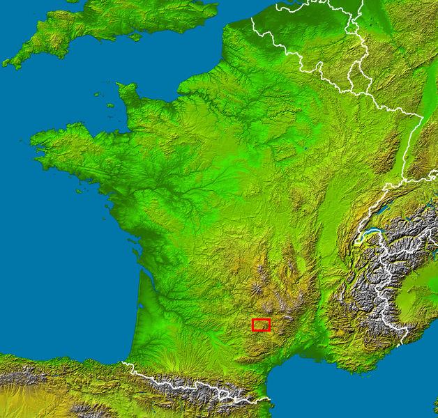
- Subject : Lévézou country localization in France viewed by NASA Shuttle radar-imaging ;
- Source : (map) NASA Earth Observatory (modified) [1];
- Original image in Wikipedia : Image:France_radar_2.jpg modified from Image:France_radar.jpg by Sting.
fr :
- Sujet : localisation du Lévézou sur une image radar de la France vue depuis la navette spatiale, par la NASA ;
- Source : (fond de carte) NASA Earth Observatory (modifiée) ;
- Image originale sur Wikipédia : Image:France_radar_2.jpg modifiée de Image:France_radar.jpg par Sting.
Licensing
[edit]
| This file is in the public domain in the United States because it was solely created by NASA. NASA copyright policy states that "NASA material is not protected by copyright unless noted". (See Template:PD-USGov, NASA copyright policy page or JPL Image Use Policy.) | ||
 |
Warnings:
|
File history
Click on a date/time to view the file as it appeared at that time.
| Date/Time | Thumbnail | Dimensions | User | Comment | |
|---|---|---|---|---|---|
| current | 21:49, 31 October 2006 | | 628 × 600 (112 KB) | Greteck~commonswiki (talk | contribs) | en : * Subject : Lévézou country localization in France viewed by NASA Shuttle radar-imaging ; * Source : (map) NASA Earth Observatory (modified) ; * Original image in Wikipedia : Image:France_radar_2.jpg modified from Image:France_radar.jpg by Sting. |
You cannot overwrite this file.
File usage on Commons
There are no pages that use this file.