File:Kyrenia, 1967.png
Jump to navigation
Jump to search

Size of this preview: 800 × 520 pixels. Other resolutions: 320 × 208 pixels | 640 × 416 pixels | 1,024 × 666 pixels | 1,510 × 982 pixels.
Original file (1,510 × 982 pixels, file size: 1.45 MB, MIME type: image/png)
Captions
Captions
Add a one-line explanation of what this file represents
Summary
[edit]
| Description |
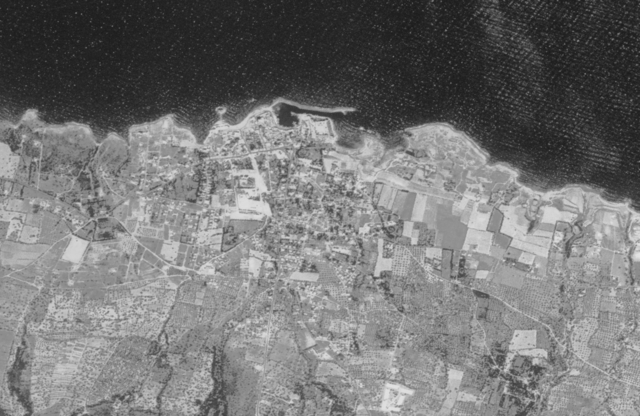
English: United States photographic surveillance program CORONA, Cyprus 1967 |
| Date | |
| Source | https://corona.cast.uark.edu/atlas |
| Creator |
CIA, DS&T, and USAF |
| Geotemporal data | |
| Heading |
 |
| Georeferencing | If inappropriate please set warp_status = skip to hide. |
| Other versions | |
.png)
Licensing
[edit]
| This image is a work of a Central Intelligence Agency employee, taken or made as part of that person's official duties. As a Work of the United States Government, this image or media is in the public domain in the United States.
|

|
File history
Click on a date/time to view the file as it appeared at that time.
| Date/Time | Thumbnail | Dimensions | User | Comment | |
|---|---|---|---|---|---|
| current | 21:08, 8 May 2023 | | 1,510 × 982 (1.45 MB) | ToprakM (talk | contribs) | =={{int:filedesc}}== {{Map |description ={{en|1=United States photographic surveillance program CORONA, Cyprus 1967}} |author =CIA, DS&T, and USAF |date =Jun 28, 1967 |source =https://corona.cast.uark.edu/atlas |heading =N |other_versions={{extracted from|File:CORONA, Cyprus 1964 (1042-2184F055).png}} }} =={{int:license-header}}== {{PD-CIA}} Category:Photos by CORONA satellites Category:Kyrenia |
You cannot overwrite this file.
File usage on Commons
The following page uses this file: