File:Kyoto Omuro Narabigaoka Aerial Photograph.jpg
Jump to navigation
Jump to search
Size of this preview: 471 × 599 pixels. Other resolutions: 189 × 240 pixels | 377 × 480 pixels | 923 × 1,174 pixels.
Original file (923 × 1,174 pixels, file size: 289 KB, MIME type: image/jpeg)
Captions
Captions
Add a one-line explanation of what this file represents
Summary
[edit]
| Description |
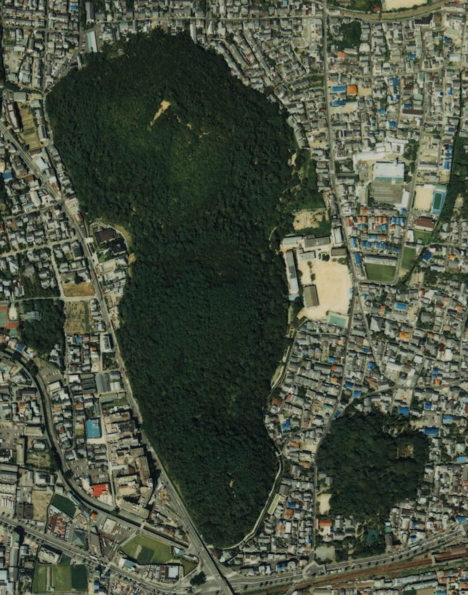
日本語:京都市右京区御室にある双ヶ岡(古墳群)、右下はJR嵯峨野線 |
| Date | |
| Source | Japanese Ministry of Land, Infrastructure, Transport and Tourism |
| Author | Retouched by At by At |
- 整理番号 CKK-87-1
- 撮影年度 昭和62年度
- 地区名 京都
- 撮影コース・写真番号 C6-11
Licensing
[edit]

|
The copyright holder of this file, the Ministry of Land, Infrastructure, Transport and Tourism of Japan, allows anyone to use it for any purpose, provided that the copyright holder is properly attributed. Redistribution, derivative work, commercial use, and all other use is permitted. |
Attribution:
Copyright © National Land Image Information (Color Aerial Photographs), Ministry of Land, Infrastructure, Transport and Tourism
|
 |
This image is copyrighted by the Ministry of Land, Infrastructure, Transport and Tourism of Japan. For terms of use, see the stipulation to use of National Land Information (in Japanese) and message from MLIT (in Japanese and English). When you display this image on an article, include the following phrase in the description: "Made based on National Land Image Information (Color Aerial Photographs), Ministry of Land, Infrastructure, Transport and Tourism".
|
File history
Click on a date/time to view the file as it appeared at that time.
| Date/Time | Thumbnail | Dimensions | User | Comment | |
|---|---|---|---|---|---|
| current | 05:29, 21 October 2013 | | 923 × 1,174 (289 KB) | At by At (talk | contribs) | User created page with UploadWizard |
You cannot overwrite this file.
File usage on Commons
The following page uses this file: