File:Kyiv Chrestjatyk administrative arc.jpg
Jump to navigation
Jump to search

Size of this preview: 800 × 599 pixels. Other resolutions: 320 × 240 pixels | 640 × 479 pixels | 1,024 × 767 pixels | 1,280 × 958 pixels | 2,196 × 1,644 pixels.
Original file (2,196 × 1,644 pixels, file size: 1 MB, MIME type: image/jpeg)
Captions
Captions
Add a one-line explanation of what this file represents
Summary
[edit]
| Camera location | | View this and other nearby images on: OpenStreetMap |
|---|
| Description |
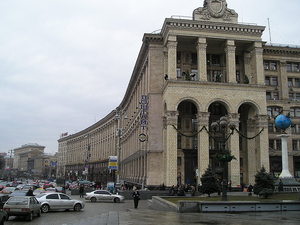
English: Ukraine.Kyiv.Chrestjatyk.“Administrative arc”
Українська: Україна.Київ.Хрещатик.“Адміністративна дуга” |
| Date | |
| Source | Own work |
| Author | Levchuk Volodymyr (UAWeBeR) |
Licensing
[edit]
I, Levchuk Volodymyr (UAWeBeR), the copyright holder of this work, hereby publishes it under the following license:
This file is licensed under the Creative Commons Attribution-Share Alike 3.0 Unported license.
Attribution: I, Levchuk Volodymyr (UAWeBeR)
- You are free:
- to share – to copy, distribute and transmit the work
- to remix – to adapt the work
- Under the following conditions:
- attribution – You must give appropriate credit, provide a link to the license, and indicate if changes were made. You may do so in any reasonable manner, but not in any way that suggests the licensor endorses you or your use.
- share alike – If you remix, transform, or build upon the material, you must distribute your contributions under the same or compatible license as the original.
File history
Click on a date/time to view the file as it appeared at that time.
| Date/Time | Thumbnail | Dimensions | User | Comment | |
|---|---|---|---|---|---|
| current | 19:33, 22 January 2008 | | 2,196 × 1,644 (1 MB) | UAWeBeR (talk | contribs) | {{Information |Description=en:Ukraine.Kyiv.Chrestjatyk. |Source=own work |Date=22.01.2008 |Author=UAWeBeR |Permission=2196*1644 |other_versions= }} Khreschatyk Streets and squares of Kiev Kiev |
You cannot overwrite this file.
File usage on Commons
The following page uses this file:
File usage on other wikis
The following other wikis use this file:
- Usage on be-tarask.wikipedia.org
- Usage on be.wikipedia.org
- Usage on de.wikipedia.org
- Usage on en.wikivoyage.org
- Usage on it.wikipedia.org
- Usage on ja.wikipedia.org
- Usage on ru.wikipedia.org
- Usage on uk.wikipedia.org