File:Kuusijärvenoja in Kuninkaanmäki, Vantaa, Finland 2021 September.jpg
Jump to navigation
Jump to search

Size of this preview: 800 × 533 pixels. Other resolutions: 320 × 213 pixels | 640 × 427 pixels | 1,024 × 683 pixels | 1,280 × 853 pixels | 2,560 × 1,706 pixels | 5,000 × 3,333 pixels.
Original file (5,000 × 3,333 pixels, file size: 18.7 MB, MIME type: image/jpeg)
Captions
Captions
Add a one-line explanation of what this file represents
Summary
[edit]
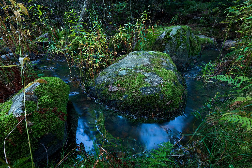
| Description | Water from Kuusijärvi lake flowing in Kuusijärvenoja in evening in Kuninkaanmäki, Vantaa, Finland in 2021 September. |
| Date | |
| Source | Own work |
| Author | Ximonic (Simo Räsänen) |
| Camera location | | View this and other nearby images on: OpenStreetMap |
|---|
Licensing
[edit]
Simo Räsänen, the copyright holder of this work, hereby publishes it under the following license:
This file is licensed under the Creative Commons Attribution license, versions 1.0, 2.0, 2.5, 3.0, 4.0 and any later version released by Creative Commons. You may select the version of your choice. In short: you are free to share and make derivative works of the file under the conditions that you appropriately attribute it. Official license: 1.0, 2.0, 2.5, 3.0, 4.0
|
If this file was uploaded before Jan. 10th, 2013 it is licensed under:
This file is licensed under the Creative Commons Attribution 3.0 Unported, 2.5 Generic, 2.0 Generic and 1.0 Generic license.
- You are free:
- to share – to copy, distribute and transmit the work
- to remix – to adapt the work
- Under the following conditions:
- attribution – You must give appropriate credit, provide a link to the license, and indicate if changes were made. You may do so in any reasonable manner, but not in any way that suggests the licensor endorses you or your use.
This image has been assessed using the Quality image guidelines and is considered a Quality image.
|
File history
Click on a date/time to view the file as it appeared at that time.
| Date/Time | Thumbnail | Dimensions | User | Comment | |
|---|---|---|---|---|---|
| current | 22:17, 6 September 2021 | | 5,000 × 3,333 (18.7 MB) | Ximonic (talk | contribs) | VicuñaUploader 1.23 |
You cannot overwrite this file.
File usage on Commons
The following 4 pages use this file: