File:Kurdestan map.png
Jump to navigation
Jump to search
No higher resolution available.
Kurdestan_map.png (520 × 416 pixels, file size: 30 KB, MIME type: image/png)
Captions
Captions
Add a one-line explanation of what this file represents
Summary
[edit]
| Description |
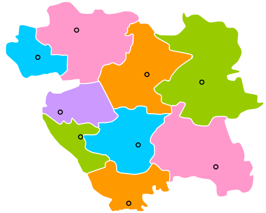
فارسی: نقشه استان کردستان |
| Date | |
| Source | Own work |
| Author | Korsoon |
Licensing
[edit]
I, the copyright holder of this work, hereby publish it under the following license:

|
Permission is granted to copy, distribute and/or modify this document under the terms of the GNU Free Documentation License, Version 1.2 or any later version published by the Free Software Foundation; with no Invariant Sections, no Front-Cover Texts, and no Back-Cover Texts. A copy of the license is included in the section entitled GNU Free Documentation License. |
File history
Click on a date/time to view the file as it appeared at that time.
| Date/Time | Thumbnail | Dimensions | User | Comment | |
|---|---|---|---|---|---|
| current | 12:00, 10 November 2009 | | 520 × 416 (30 KB) | Korsoon (talk | contribs) | {{اطلاعات |توضیحات = نقشه استان کردستان |منبع = اثر_شخصی_توسط_بارگذار |تاریخ = 2009 |اجازه_نامه = |پدیدآور = ~~~ |دیگر_نسخهها = |
You cannot overwrite this file.
File usage on Commons
There are no pages that use this file.