File:Kulaura Upazila Map.png
Jump to navigation
Jump to search

Size of this preview: 423 × 599 pixels. Other resolutions: 169 × 240 pixels | 614 × 870 pixels.
Original file (614 × 870 pixels, file size: 59 KB, MIME type: image/png)
Captions
Captions
Add a one-line explanation of what this file represents
Summary
[edit]
| Description |
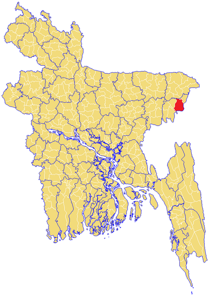
English: Map of Kulaura Upazila, Maulvibazar District, Sylhet Division, Bangladesh |
| Date | |
| Source | Own work by uploader from blank map |
| Author | DinajGao |
Licensing
[edit]
I, the copyright holder of this work, hereby publish it under the following license:
This file is licensed under the Creative Commons Attribution 3.0 Unported license.
- You are free:
- to share – to copy, distribute and transmit the work
- to remix – to adapt the work
- Under the following conditions:
- attribution – You must give appropriate credit, provide a link to the license, and indicate if changes were made. You may do so in any reasonable manner, but not in any way that suggests the licensor endorses you or your use.
File history
Click on a date/time to view the file as it appeared at that time.
| Date/Time | Thumbnail | Dimensions | User | Comment | |
|---|---|---|---|---|---|
| current | 02:26, 14 June 2009 | | 614 × 870 (59 KB) | DinajGao (talk | contribs) | {{Information |Description={{en|1=Map of Kulaura Upazila, Maulvibazar District, Sylhet Division, Bangladesh}} |Source=Own work by uploader from blank map |Author=DinajGao |Date=2009-06-14 |Permission= |other_versions= }} <!--{{ImageUplo |
You cannot overwrite this file.
File usage on Commons
There are no pages that use this file.
File usage on other wikis
The following other wikis use this file:
- Usage on ne.wikipedia.org
- Usage on uk.wikipedia.org