File:Krzyżanów (gmina) location map.png

Original file (1,886 × 2,084 pixels, file size: 628 KB, MIME type: image/png)
Captions
Captions
Summary
[edit]_location_map.png&action=edit§ion=1)
| Description |
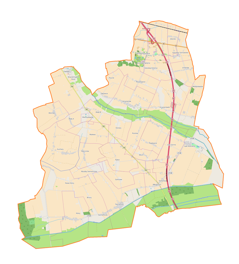
English: Location map |
| Date | |
| Source | Own work |
| Author | Smat |
| Description |
Polski: Mapa gminy Krzyżanów, Polska
English: Map of Krzyżanów (gmina), Poland |
|||||||||
| Date | ||||||||||
| Source | You may find a page on the OpenStreetMap wiki page for Krzyżanów (gmina) | |||||||||
| Creator |
OpenStreetMap contributors OpenStreetMap contributors |
|||||||||
| Permission (Reusing this file) |
OpenStreetMap data is available under the Open Database License (details). Map tiles are licensed under the Creative Commons Attribution-ShareAlike 2.0 license (CC-BY-SA 2.0).
This file is licensed under the Creative Commons Attribution-Share Alike 2.0 Generic license.
|
|||||||||
| Geotemporal data | ||||||||||
| Bounding box |
|
|||||||||
| Georeferencing | If inappropriate please set warp_status = skip to hide. | |||||||||
Licensing
[edit]_location_map.png&action=edit§ion=2)
| This work contains information from OpenStreetMap, which is made available under the Open Database License (ODbL).
The ODbL does not require any particular license for maps produced from ODbL data. Prior to 1 August 2020, map tiles produced by the OpenStreetMap Foundation were licensed under the CC-BY-SA-2.0 license. Maps produced by other people may be subject to other licences. |
File history
Click on a date/time to view the file as it appeared at that time.
| Date/Time | Thumbnail | Dimensions | User | Comment | |
|---|---|---|---|---|---|
| current | 08:49, 25 October 2017 | | 1,886 × 2,084 (628 KB) | Smat (talk | contribs) | User created page with UploadWizard |
You cannot overwrite this file.
File usage on Commons
There are no pages that use this file.
File usage on other wikis
The following other wikis use this file:
- Usage on de.wikipedia.org
- Usage on pl.wikipedia.org
- Krzyżanówek
- Ktery
- Kaszewy Dworne
- Kaszewy-Kolonia
- Kaszewy Kościelne
- Kaszewy-Spójnia
- Kaszewy Tarnowskie
- Łęki Kościelne
- Micin
- Młogoszyn
- Nowe Ktery
- Psurze
- Różanowice
- Rustów
- Siemienice
- Siemieniczki
- Wały A
- Wały B
- Wierzyki
- Wojciechowice Duże
- Wyręby Siemienickie
- Goliszew (województwo łódzkie)
- Łęki Górne (województwo łódzkie)
- Malewo (województwo łódzkie)
- Pawłowice (województwo łódzkie)
- Rybie (województwo łódzkie)
- Sokół (województwo łódzkie)
- Julianów (powiat kutnowski)
- Konary (powiat kutnowski)
- Kuchary (powiat kutnowski)
- Krzyżanów (powiat kutnowski)
- Marcinów (powiat kutnowski)
- Stefanów (powiat kutnowski)
- Władysławów (powiat kutnowski)
- Złotniki (powiat kutnowski)
- Żakowice (powiat kutnowski)
- Brony
- Mieczysławów (województwo łódzkie)
- Świniary (Malewo)
- Uroczysko Leśne
- Wojciechowice Małe
- Zawady (powiat kutnowski)
- Zieleniew (Nowe Ktery)
- Złotniki Kutnowskie
- Parafia św. Marii Magdaleny w Łękach Kościelnych
- Daninów (województwo łódzkie)
- Parafia św. Andrzeja Apostoła w Kaszewach
- Moduł:Mapa/dane/Krzyżanów (gmina)
- Usage on pl.wikibooks.org
_location_map.png&oldid=607600470)