File:Kriegerdenkmalaßling2016.JPG
Jump to navigation
Jump to search

Size of this preview: 497 × 599 pixels. Other resolutions: 199 × 240 pixels | 398 × 480 pixels | 637 × 768 pixels | 849 × 1,024 pixels | 1,597 × 1,926 pixels.
Original file (1,597 × 1,926 pixels, file size: 2.65 MB, MIME type: image/jpeg)
Captions
Captions
Add a one-line explanation of what this file represents
Summary
[edit]| Description |
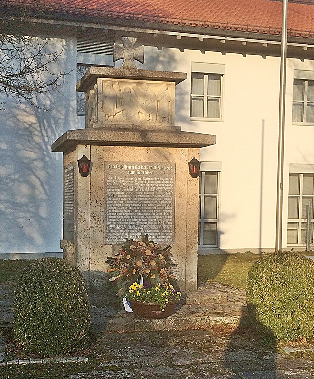
Deutsch: Aßlinger Kriegerdenkmal im Jahr 2016 |
| Date | |
| Source | Own work |
| Author | Geograph23 (Diskussion) |
| Camera location | | View this and other nearby images on: OpenStreetMap |
|---|
Licensing
[edit]
|
The copyright holder of this work allows anyone to use it for any purpose including unrestricted redistribution, commercial use, and modification.
Usage notes:
|
Original upload log
[edit]Transferred from de.wikipedia to Commons by Wdwdbot using script bot_filetrans.pl (r46M).
The original description page was here. All following user names refer to de.wikipedia.
- 2016-03-20 23:49:49 Geograph23 (2778648 Bytes) {{Information |Beschreibung = Aßlinger Kriegerdenkmal im Jahr 2016 |Quelle = eigene Fotographie |Urheber = [[:de:Benutzer:Geograph23|Geograph23]] ([[:de:Benutzer Diskussion:Geograph23|Diskussion]]) |Datum = 20.03.2016…

File history
Click on a date/time to view the file as it appeared at that time.
| Date/Time | Thumbnail | Dimensions | User | Comment | |
|---|---|---|---|---|---|
| current | 21:20, 22 March 2016 | | 1,597 × 1,926 (2.65 MB) | Wdwdbot (talk | contribs) | Bot Move: Original uploader of this revision (#1) was Geograph23 at de.wikipedia |
You cannot overwrite this file.
File usage on Commons
There are no pages that use this file.
File usage on other wikis
The following other wikis use this file: