File:Kreminno 33.jpg
Jump to navigation
Jump to search

Size of this preview: 800 × 360 pixels. Other resolutions: 320 × 144 pixels | 640 × 288 pixels | 1,024 × 461 pixels | 1,280 × 576 pixels | 4,000 × 1,800 pixels.
Original file (4,000 × 1,800 pixels, file size: 2.42 MB, MIME type: image/jpeg)
Captions
Captions
Add a one-line explanation of what this file represents
Summary
[edit]| Description |
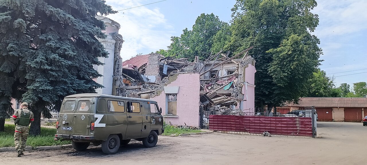
Esperanto: Kreminno, Luganska provinco. |
||
| Date | |||
| Source | Own work | ||
| Author | RG72 | ||
| Permission (Reusing this file) |
|

| Camera location | | View this and other nearby images on: OpenStreetMap |
|---|
Licensing
[edit]
I, the copyright holder of this work, hereby publish it under the following license:
This file is licensed under the Creative Commons Attribution-Share Alike 4.0 International license.
- You are free:
- to share – to copy, distribute and transmit the work
- to remix – to adapt the work
- Under the following conditions:
- attribution – You must give appropriate credit, provide a link to the license, and indicate if changes were made. You may do so in any reasonable manner, but not in any way that suggests the licensor endorses you or your use.
- share alike – If you remix, transform, or build upon the material, you must distribute your contributions under the same or compatible license as the original.
File history
Click on a date/time to view the file as it appeared at that time.
| Date/Time | Thumbnail | Dimensions | User | Comment | |
|---|---|---|---|---|---|
| current | 06:00, 11 July 2023 | | 4,000 × 1,800 (2.42 MB) | RG72 (talk | contribs) | Uploaded own work with UploadWizard |
You cannot overwrite this file.
File usage on Commons
There are no pages that use this file.
File usage on other wikis
The following other wikis use this file:
- Usage on eo.wikinews.org
Metadata
Categories:
- Transport in Kreminna
- July 2023 in Luhansk Oblast
- Clouds and blue sky in Luhansk Oblast
- Damaged buildings in Kreminna
- UAZ-452
- Russia military people of the Russo-Ukrainian War
- 2022 Russian Invasion enclosed Z-shaped markings on military vehicles
- Minibuses in Sievierodonetsk Raion
- Red tape in military identification (Russia)
- Metal fences in Luhansk Oblast