File:Kreis-Herford-Pop.png
Jump to navigation
Jump to search
No higher resolution available.
Kreis-Herford-Pop.png (595 × 475 pixels, file size: 65 KB, MIME type: image/png)
Captions
Captions
Add a one-line explanation of what this file represents
| Description |
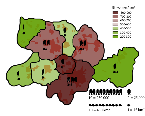
Deutsch: Bevölkerungsverteilung des Kreises Herford, Nordrhein-Westfalen English: Poulation distribution of Kreis Herford, Germany. |
| Date |
17 July 2007 (original upload date) |
| Source | Based on Google Earth and Geoserver NRW |
| Author | Me, myself and I: de:Benutzer:TUBS |
| Permission (Reusing this file) |
Use it and improve it |
| Other versions | Adobe Illustator vector graphics available |
| Object location | | View this and other nearby images on: OpenStreetMap |
|---|
Licensing
[edit]
| I, the copyright holder of this work, release this work into the public domain. This applies worldwide. In some countries this may not be legally possible; if so: I grant anyone the right to use this work for any purpose, without any conditions, unless such conditions are required by law. |
Original upload log
[edit]
Transferred from de.wikipedia to Commons by TUBS using CommonsHelper.
The original description page was here. All following user names refer to de.wikipedia.
- 2007-07-17 09:56 TUBS 595×475× (66925 bytes) == Beschreibung, Quelle == {{Information |Beschreibung = Maps of [[Kreis Herford]] (Germany) series. Shows various kinds of information including topographical, demographical, and use of land information for all communities of Kreis Herford and the distri
- 2007-07-16 23:49 TUBS 1460×1121× (187776 bytes) {{Information |Beschreibung = Maps of [[Kreis Herford]] (Germany) series. Shows various kinds of information including topographical, demographical, and use of land information for all communities of Kreis Herford and the district of Herford itstelf. |Que
File history
Click on a date/time to view the file as it appeared at that time.
| Date/Time | Thumbnail | Dimensions | User | Comment | |
|---|---|---|---|---|---|
| current | 13:59, 27 December 2008 | | 595 × 475 (65 KB) | File Upload Bot (Magnus Manske) (talk | contribs) | {{BotMoveToCommons|de.wikipedia}} {{Information |Description={{de|Maps of de:Kreis Herford (Germany) series. Shows various kinds of information including topographical, demographical, and use of land information for all communities of Kreis Herford |
You cannot overwrite this file.
File usage on Commons
There are no pages that use this file.
File usage on other wikis
The following other wikis use this file:
- Usage on de.wikipedia.org