File:Krasso-Szoreny county administrative map.jpg
Jump to navigation
Jump to search

Size of this preview: 389 × 599 pixels. Other resolutions: 156 × 240 pixels | 312 × 480 pixels | 499 × 768 pixels | 665 × 1,024 pixels | 1,655 × 2,548 pixels.
Original file (1,655 × 2,548 pixels, file size: 1 MB, MIME type: image/jpeg)
Captions
Captions
Add a one-line explanation of what this file represents
Summary
[edit]
| Description |
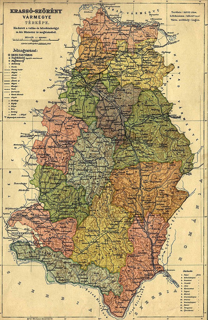
English: County of Krassó-Szörény in the pre-Trianon Kingdom of Hungary Magyar: Krassó-Szörény vármegye adminisztratív térképe 1913-ból Polski: Komitat Krassó-Szörény w Królestwie Węgier przed traktatem w Trianon |
| Date | |
| Source | http://lazarus.elte.hu/hun/maps/1910/vmlista.htm |
| Author | Unknown author |
Licensing
[edit]
|
This work is in the public domain in its country of origin and other countries and areas where the copyright term is the author's life plus 70 years or fewer. | |
| This file has been identified as being free of known restrictions under copyright law, including all related and neighboring rights. | |
File history
Click on a date/time to view the file as it appeared at that time.
| Date/Time | Thumbnail | Dimensions | User | Comment | |
|---|---|---|---|---|---|
| current | 10:53, 19 June 2010 | | 1,655 × 2,548 (1 MB) | Szilas (talk | contribs) | == {{int:filedesc}} {{Information|Description={{en|County of Krassó-Szörény in the pre-Trianon Kingdom of Hungary}}{{hu|Krassó-Szörény vármegye adminiszratív térképe 1913}}|Source=http://lazarus.elte.hu/hun/maps/1910/vmlista.htm|Date=2010-06-19| |
You cannot overwrite this file.
File usage on Commons
There are no pages that use this file.
File usage on other wikis
The following other wikis use this file:
- Usage on de.wikipedia.org
- Usage on en.wikipedia.org
- Usage on hu.wikipedia.org