File:Kraków - starorzecze Wisły Podgórki Tynieckie (03) - DSC06382-DSC06390 v2.jpg
Jump to navigation
Jump to search

Size of this preview: 799 × 275 pixels. Other resolutions: 320 × 110 pixels | 640 × 220 pixels | 1,024 × 353 pixels | 1,280 × 441 pixels | 2,560 × 881 pixels | 7,965 × 2,742 pixels.
Original file (7,965 × 2,742 pixels, file size: 21.18 MB, MIME type: image/jpeg)
Captions
Captions
Add a one-line explanation of what this file represents
Summary
[edit]_-_DSC06382-DSC06390_v2.jpg&action=edit§ion=1)
| Description |
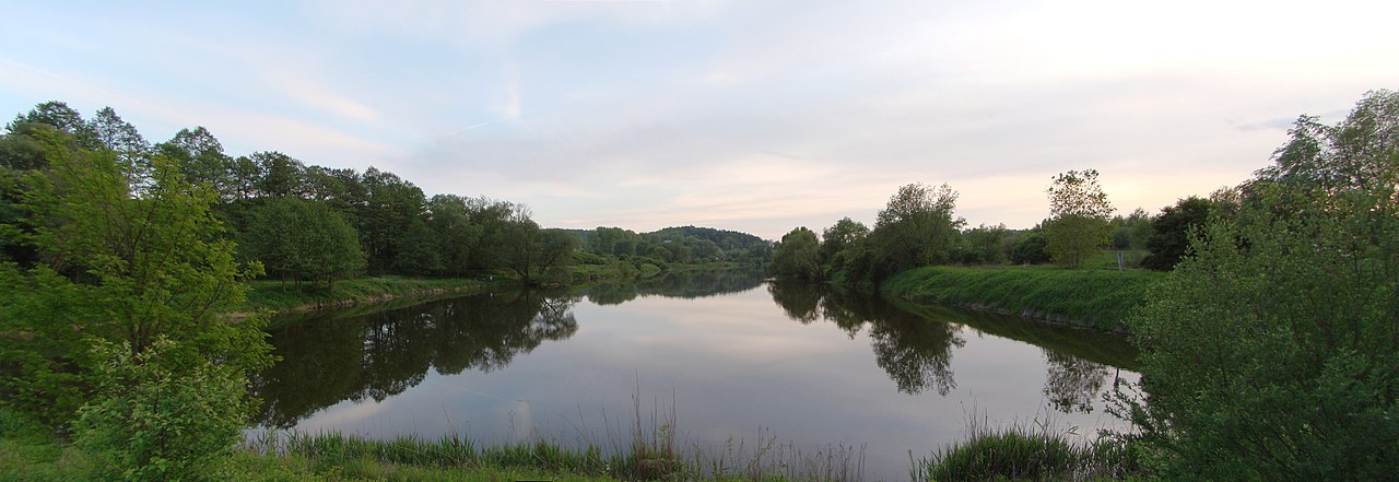
Polski: Kraków - starorzecze Wisły "Podgórki Tynieckie"
English: Kraków - Vistula oxbow lake "Podgórki Tynieckie" |
| Date | |
| Source | Own work |
| Author | Pece |
| Camera location | | View this and other nearby images on: OpenStreetMap |
|---|
_-_DSC06382-DSC06390_v2.jpg¶ms=050.022796_N_0019.825663_E_globe:Earth_type:camera__&language=en)
Licensing
[edit]_-_DSC06382-DSC06390_v2.jpg&action=edit§ion=2)
This file is licensed under the Creative Commons Attribution 3.0 Unported license.
Attribution: Przemysław Czopor
- You are free:
- to share – to copy, distribute and transmit the work
- to remix – to adapt the work
- Under the following conditions:
- attribution – You must give appropriate credit, provide a link to the license, and indicate if changes were made. You may do so in any reasonable manner, but not in any way that suggests the licensor endorses you or your use.
File history
Click on a date/time to view the file as it appeared at that time.
| Date/Time | Thumbnail | Dimensions | User | Comment | |
|---|---|---|---|---|---|
| current | 14:07, 22 March 2018 | 7,965 × 2,742 (21.18 MB) | Pece (talk | contribs) | VicuñaUploader 1.23 |
You cannot overwrite this file.
File usage on Commons
The following 2 pages use this file:
_-_DSC06382-DSC06390_v2.jpg&oldid=504613866)