File:Krajina pri sedle Krížna - panoramio.jpg
Jump to navigation
Jump to search

Size of this preview: 800 × 297 pixels. Other resolutions: 320 × 119 pixels | 640 × 238 pixels | 1,024 × 381 pixels | 1,280 × 476 pixels | 2,560 × 952 pixels | 10,078 × 3,746 pixels.
Original file (10,078 × 3,746 pixels, file size: 8.52 MB, MIME type: image/jpeg)
Captions
Captions
Add a one-line explanation of what this file represents
Summary
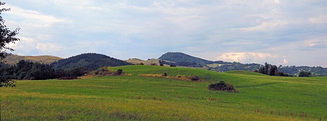
[edit]| Description | Krajina pri sedle Krížna | ||
| Date | Taken on 15 August 2014 | ||
| Source | https://web.archive.org/web/20161102220818/http://www.panoramio.com/photo/110799726 | ||
| Author | Jan Starec | ||
| Permission (Reusing this file) |
This file is licensed under the Creative Commons Attribution-Share Alike 3.0 Unported license. Attribution: Jan Starec
|
||
| Tags (from Panoramio photo page) | Štiavnické Bane, Banská Štiavnica a okolie |
| Camera location | | View this and other nearby images on: OpenStreetMap |
|---|

File history
Click on a date/time to view the file as it appeared at that time.
| Date/Time | Thumbnail | Dimensions | User | Comment | |
|---|---|---|---|---|---|
| current | 18:09, 15 April 2017 | 10,078 × 3,746 (8.52 MB) | Panoramio upload bot (talk | contribs) | == {{int:filedesc}} == {{Information |description=Krajina pri sedle Krížna |date={{Taken on|2014-08-15}} |source=http://www.panoramio.com/photo/110799726 |author=[http://www.panoramio.com/user/3528263?with_photo_id=110799726 Jan Starec] |permission={... |
You cannot overwrite this file.
File usage on Commons
There are no pages that use this file.