File:Kragerø map 1900.jpg
Jump to navigation
Jump to search

Size of this preview: 800 × 509 pixels. Other resolutions: 320 × 203 pixels | 640 × 407 pixels | 1,024 × 651 pixels | 1,280 × 814 pixels | 2,463 × 1,566 pixels.
Original file (2,463 × 1,566 pixels, file size: 2.73 MB, MIME type: image/jpeg)
Captions
Captions
Add a one-line explanation of what this file represents
| Description |
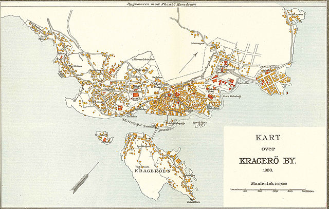
Norsk bokmål: Kart over Kragerø |
||||
| Date | |||||
| Source | Amund Helland: Topografisk-statistisk beskrivelse over Bratsberg Amt. | ||||
| Author | Den private Opmaaling, Kristiania | ||||
| Permission (Reusing this file) |
|
||||
File history
Click on a date/time to view the file as it appeared at that time.
| Date/Time | Thumbnail | Dimensions | User | Comment | |
|---|---|---|---|---|---|
| current | 07:18, 3 April 2008 | | 2,463 × 1,566 (2.73 MB) | Mahlum (talk | contribs) | |
| 17:01, 2 April 2008 |  | 1,800 × 1,153 (2.01 MB) | Mahlum (talk | contribs) | {{Information |Description={{no|Kart over Kragerø}} |Source=Amund Helland: ''Topografisk-statistisk beskrivelse over Bratsberg Amt''. |Date=1900 |Author=Den private Opmaaling, Kristiania |Permission={{PD-old}} |other_versions= }} [[Category:Old maps of |
You cannot overwrite this file.
File usage on Commons
There are no pages that use this file.
File usage on other wikis
The following other wikis use this file:
- Usage on nn.wikipedia.org
- Usage on no.wikipedia.org