File:Korenevo platform - Mapillary (31KdS4Umn71QKMg M9f9-A).jpg
Jump to navigation
Jump to search

Size of this preview: 800 × 400 pixels. Other resolutions: 320 × 160 pixels | 640 × 320 pixels | 1,024 × 512 pixels | 1,280 × 640 pixels | 2,560 × 1,280 pixels | 5,376 × 2,688 pixels.
Original file (5,376 × 2,688 pixels, file size: 2.81 MB, MIME type: image/jpeg)
Captions
Captions
Add a one-line explanation of what this file represents
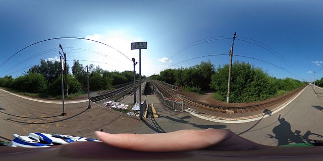
| Description | Korenevo platform | ||
| Date | Taken on 30 July 2016, 16:04:04 | ||
| Source |
|
||
| Author | trolleway @ Mapillary.com | ||
| Permission (Reusing this file) |
This file is licensed under the Creative Commons Attribution-Share Alike 4.0 International license.
|
| 360° | View in 360° panoramic viewer
|
|---|
.jpg)
| Camera location | | View this and other nearby images on: OpenStreetMap |
|---|
.jpg¶ms=055.668410_N_0037.998611_E_globe:Earth_type:camera_heading:247.50&language=en)
File history
Click on a date/time to view the file as it appeared at that time.
| Date/Time | Thumbnail | Dimensions | User | Comment | |
|---|---|---|---|---|---|
| current | 13:06, 9 September 2016 | | 5,376 × 2,688 (2.81 MB) | Svetlov Artem (talk | contribs) | Original size |
| 12:55, 9 September 2016 |  | 2,048 × 1,024 (231 KB) | Svetlov Artem (talk | contribs) | Transferred from https://d1cuyjsrcm0gby.cloudfront.net/31KdS4Umn71QKMg_M9f9-A/thumb-2048.jpg |
You cannot overwrite this file.
File usage on Commons
The following page uses this file:
File usage on other wikis
The following other wikis use this file:
- Usage on ru.wikipedia.org
- Usage on www.wikidata.org
.jpg&oldid=868160839)