File:Komisariat SG Dzietrzkowice.png
Jump to navigation
Jump to search
Size of this preview: 800 × 414 pixels. Other resolutions: 320 × 165 pixels | 640 × 331 pixels | 1,199 × 620 pixels.
Original file (1,199 × 620 pixels, file size: 611 KB, MIME type: image/png)
Captions
Captions
Add a one-line explanation of what this file represents
Summary
[edit]
| Description |
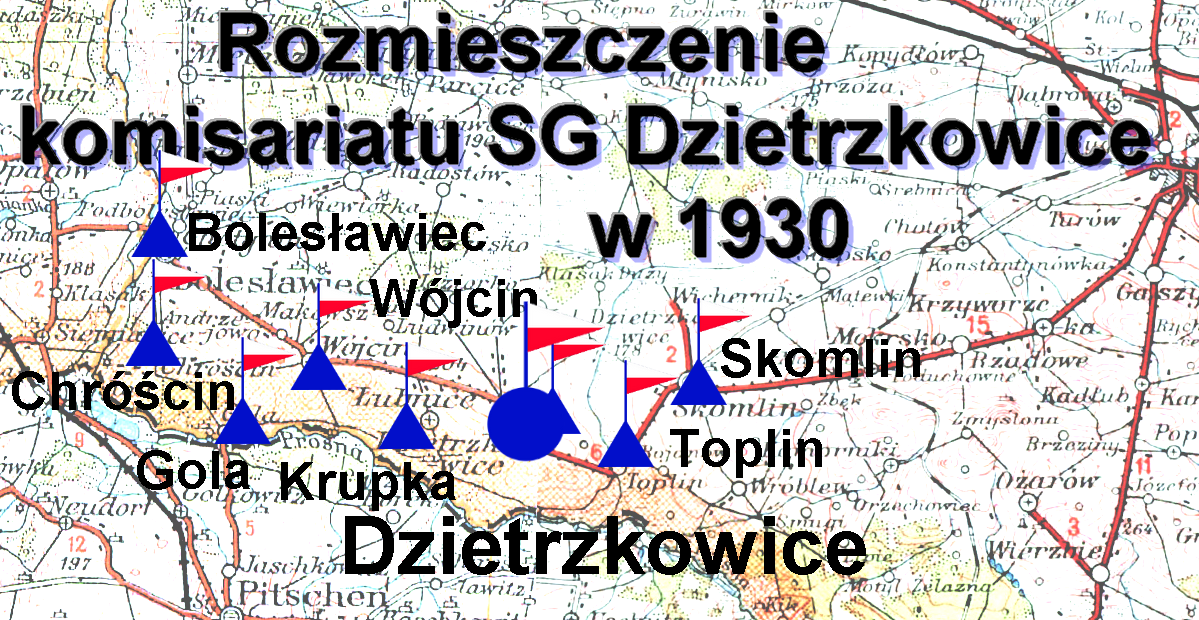
Polski: Rozmieszczenie komisariatu SG Dzietrzkowice w 1930 |
||
| Date | |||
| Source |
Baza mapy: Wojskowy Instytut Geograficzny, arkusz 63, skala 1:300 000, rok wydania 1935; arkusz 64,skala 1:300 000, rok wydania 1936,
|
||
| Author | Baza mapy: WIG, Ar.63 -1935, Ar. 64 - 1936 . Złożenie map - Gruzin, Mapa ze znakami taktycznymi -Kerim44 |
File history
Click on a date/time to view the file as it appeared at that time.
| Date/Time | Thumbnail | Dimensions | User | Comment | |
|---|---|---|---|---|---|
| current | 23:44, 21 March 2018 | | 1,199 × 620 (611 KB) | Kerim44 (talk | contribs) | dorysowana straznica |
| 23:27, 21 March 2018 |  | 1,199 × 620 (610 KB) | Kerim44 (talk | contribs) | {{Information |description ={{pl|1=komisariat Dzietrzkowice}} |source ={{own}} |author =User:Kerim44 |date = }} |
You cannot overwrite this file.
File usage on Commons
There are no pages that use this file.
File usage on other wikis
The following other wikis use this file:
- Usage on pl.wikipedia.org
- Komisariat Straży Granicznej „Dzietrzkowice”
- Placówka Straży Granicznej I linii „Gola”
- Placówka Straży Granicznej I linii „Wójcin”
- Placówka Straży Granicznej I linii „Krupka”
- Placówka Straży Granicznej I linii „Toplin”
- Placówka Straży Granicznej II linii „Dzietrzkowice”
- Placówka Straży Granicznej II linii „Bolesławiec”
- Placówka Straży Granicznej II linii „Skomlin”