File:Kolenmijnen Flénu.jpg
![File:Kolenmijnen Flénu.jpg](https://upload.wikimedia.org/wikipedia/commons/thumb/8/8f/Kolenmijnen_Fl%C3%A9nu.jpg/450px-Kolenmijnen_Fl%C3%A9nu.jpg?20110903165950)
Original file (1,224 × 1,632 pixels, file size: 389 KB, MIME type: image/jpeg)
Captions
Captions
Summary
[edit]DescriptionKolenmijnen Flénu.jpg |
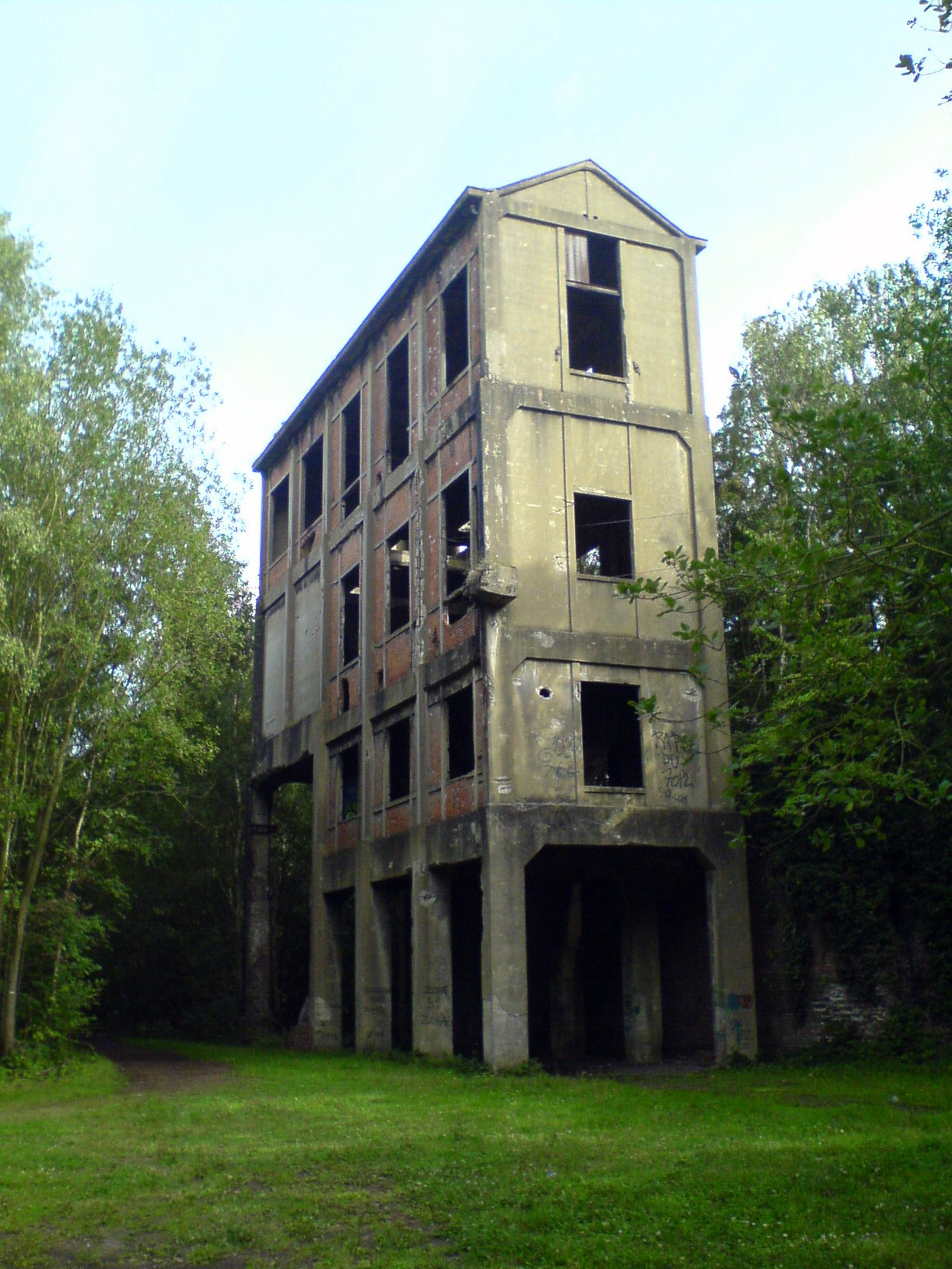
Nederlands: Vroegere silo van kolenwasserij van de zetels 14/15/17 van de kolenmijnen Levant de Flénuop het territorium van de voormalige gemeente Flénu. Hier het gebouw op 50.437063, 3.905205 English: Parts of the mines situated in Flénu. This building can be found at: 50.437063, 3.905205 Français : Silo à charbon du triage-lavoir du Siège 14/15/17 du Levant de Flénu à Cuesmes |
Date | |
Source | Own work |
Author | Vlendert |
Object location | 50° 26′ 12.1″ N, 3° 53′ 34.04″ E ![]() | View this and other nearby images on: OpenStreetMap | ![]() |
---|
Licensing
[edit]![w:en:Creative Commons](https://upload.wikimedia.org/wikipedia/commons/thumb/7/79/CC_some_rights_reserved.svg/90px-CC_some_rights_reserved.svg.png)
![attribution](https://upload.wikimedia.org/wikipedia/commons/thumb/1/11/Cc-by_new_white.svg/24px-Cc-by_new_white.svg.png)
![share alike](https://upload.wikimedia.org/wikipedia/commons/thumb/d/df/Cc-sa_white.svg/24px-Cc-sa_white.svg.png)
- You are free:
- to share – to copy, distribute and transmit the work
- to remix – to adapt the work
- Under the following conditions:
- attribution – You must give appropriate credit, provide a link to the license, and indicate if changes were made. You may do so in any reasonable manner, but not in any way that suggests the licensor endorses you or your use.
- share alike – If you remix, transform, or build upon the material, you must distribute your contributions under the same or compatible license as the original.
![]() |
This image was uploaded as part of Wiki Loves Monuments 2011.
Afrikaans ∙ Alemannisch ∙ azərbaycanca ∙ Bahasa Indonesia ∙ Bahasa Melayu ∙ Bikol Central ∙ bosanski ∙ brezhoneg ∙ català ∙ čeština ∙ Cymraeg ∙ dansk ∙ davvisámegiella ∙ Deutsch ∙ eesti ∙ English ∙ español ∙ Esperanto ∙ euskara ∙ français ∙ Frysk ∙ Gaeilge ∙ galego ∙ hrvatski ∙ Ido ∙ italiano ∙ latviešu ∙ Lëtzebuergesch ∙ Malagasy ∙ magyar ∙ Malti ∙ Nederlands ∙ norsk ∙ norsk nynorsk ∙ norsk bokmål ∙ polski ∙ português ∙ português do Brasil ∙ română ∙ shqip ∙ sicilianu ∙ slovenčina ∙ slovenščina ∙ suomi ∙ svenska ∙ Tagalog ∙ Türkçe ∙ Yorùbá ∙ Zazaki ∙ Ελληνικά ∙ беларуская ∙ беларуская (тарашкевіца) ∙ български ∙ кыргызча ∙ македонски ∙ русский ∙ српски / srpski ∙ українська ∙ ქართული ∙ հայերեն ∙ नेपाली ∙ हिन्दी ∙ বাংলা ∙ മലയാളം ∙ ไทย ∙ 한국어 ∙ +/− |
![]() |
![]() |
This is a photo of a monument in Wallonia, number: 53053-CLT-0205-01
|
File history
Click on a date/time to view the file as it appeared at that time.
Date/Time | Thumbnail | Dimensions | User | Comment | |
---|---|---|---|---|---|
current | 16:59, 3 September 2011 | ![]() | 1,224 × 1,632 (389 KB) | Vlendert (talk | contribs) |
You cannot overwrite this file.
File usage on Commons
The following 2 pages use this file:
File usage on other wikis
The following other wikis use this file:
- Usage on en.wikipedia.org
- Usage on fr.wikipedia.org
- Usage on nl.wikipedia.org
Metadata
This file contains additional information such as Exif metadata which may have been added by the digital camera, scanner, or software program used to create or digitize it. If the file has been modified from its original state, some details such as the timestamp may not fully reflect those of the original file. The timestamp is only as accurate as the clock in the camera, and it may be completely wrong.
Camera manufacturer | Sony Ericsson |
---|---|
Camera model | K750i |
Exposure time | 1/640 sec (0.0015625) |
F-number | f/2.8 |
ISO speed rating | 100 |
Date and time of data generation | 17:52, 12 August 2011 |
Horizontal resolution | 72 dpi |
Vertical resolution | 72 dpi |
Software used | R1CA021 prgCXC125952_EU_1_CL 5.3 |
File change date and time | 17:52, 12 August 2011 |
Y and C positioning | Co-sited |
Exif version | 2.2 |
Date and time of digitizing | 17:52, 12 August 2011 |
APEX exposure bias | 0 |
Metering mode | Center weighted average |
Light source | Unknown |
Flash | Flash did not fire |
Color space | sRGB |
Custom image processing | Normal process |
Exposure mode | Auto exposure |
White balance | Auto white balance |
Digital zoom ratio | 1 |
Scene capture type | Standard |
Subject distance range | Distant view |
Unique image ID | 5ebe7017cfd3392248de066bccdcc025 |
Structured data
Items portrayed in this file
depicts
12 August 2011
50°26'12.098"N, 3°53'34.040"E
image/jpeg
- Files with coordinates missing SDC location of creation (50° N, 3° E)
- CC-BY-SA-3.0
- Self-published work
- Images from Wiki Loves Monuments 2011
- Images from Wiki Loves Monuments 2011 in Belgium
- Images from Wiki Loves Monuments missing SDC depicts
- Images from Wiki Loves Monuments missing SDC location of creation
- Cultural heritage monuments in Wallonia with known IDs
- Belgium photographs taken on 2011-08-12
- Pages with maps