File:Ko Po Da Nok island Thailand 2018 5.jpg
Jump to navigation
Jump to search

Size of this preview: 800 × 517 pixels. Other resolutions: 320 × 207 pixels | 640 × 414 pixels | 1,024 × 662 pixels | 1,280 × 828 pixels | 2,600 × 1,681 pixels.
Original file (2,600 × 1,681 pixels, file size: 2.77 MB, MIME type: image/jpeg)
Captions
Captions
Add a one-line explanation of what this file represents
Summary
[edit]
| Description |
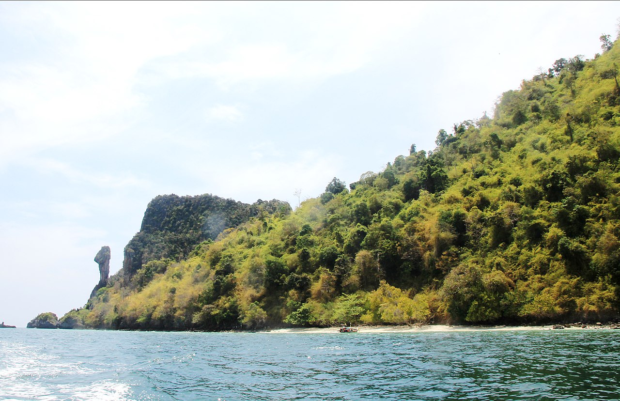
English: South-east coast of the island Ko Po Da Nok with the bird head looking rock in the Krabi Province from boat, Thailand, March 2018
Čeština: Jihovýchodní pobřeží ostrova Ko Po Da Nok se skálou ve tvaru ptačí hlavy ze člunu, provincie Krabi, Thajsko, březen 2018 |
| Date | |
| Source | Own work |
| Author | Karelj |
| Camera location | | View this and other nearby images on: OpenStreetMap |
|---|
Licensing
[edit]
| I, the copyright holder of this work, release this work into the public domain. This applies worldwide. In some countries this may not be legally possible; if so: I grant anyone the right to use this work for any purpose, without any conditions, unless such conditions are required by law. |
File history
Click on a date/time to view the file as it appeared at that time.
| Date/Time | Thumbnail | Dimensions | User | Comment | |
|---|---|---|---|---|---|
| current | 09:08, 10 August 2018 | | 2,600 × 1,681 (2.77 MB) | Karelj (talk | contribs) | {{Information |Description ={{en|1= South-east coast of the island {{c|Ko Po Da Nok}} with the bird head looking rock in the {{w|Krabi Province}} from boat, {{w|Thailand}}, March 2018}} {{cs|1= Jihovýchodní pobřeží ostrova Ko Po Da Nok se skálou ve tvaru ptačí hlavy ze člunu, provincie Krabi, {{w|Thajsko||cs}}, březen 2018}} |Source ={{own}} |Author =Karelj |Date =2018-03-11 |Permission = |other_versions = }} {{Location|7|56|19.52|N|98|48|44.34... |
You cannot overwrite this file.
File usage on Commons
There are no pages that use this file.