File:Knapton Cutting.jpg
Jump to navigation
Jump to search
No higher resolution available.
Knapton_Cutting.jpg (640 × 480 pixels, file size: 147 KB, MIME type: image/jpeg)
Captions
Captions
Add a one-line explanation of what this file represents
Summary
[edit]
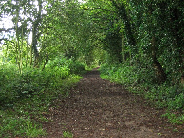
| Description | Paston Way |
| Date | Taken on 16 June 2007 |
| Source | From geograph.org.uk |
| Author | Marcus de Figueiredo |
| Permission (Reusing this file) |
Creative Commons Attribution Share-alike license 2.0 |
| Attribution (required by the license) | Marcus de Figueiredo / Paston Way / |
| Camera location | | View this and other nearby images on: OpenStreetMap |
|---|
Licensing
[edit]

|
This image was taken from the Geograph project collection. See this photograph's page on the Geograph website for the photographer's contact details. The copyright on this image is owned by Marcus de Figueiredo and is licensed for reuse under the Creative Commons Attribution-ShareAlike 2.0 license.
|
This file is licensed under the Creative Commons Attribution-Share Alike 2.0 Generic license.
Attribution: Marcus de Figueiredo
- You are free:
- to share – to copy, distribute and transmit the work
- to remix – to adapt the work
- Under the following conditions:
- attribution – You must give appropriate credit, provide a link to the license, and indicate if changes were made. You may do so in any reasonable manner, but not in any way that suggests the licensor endorses you or your use.
- share alike – If you remix, transform, or build upon the material, you must distribute your contributions under the same or compatible license as the original.
Original upload log
[edit]
The original description page was here. All following user names refer to en.wikipedia.
- 2008-01-18 14:02 Stavros1 640×480× (150351 bytes) A Digital Photograph of Knapton Cutting on the Paston Way footpath in the county of Norfolk taken by © Copyright Marcus de Figueiredo and licensed for reuse under this Creative Commons Licence. From the Webpage : https://www.geograph.org.uk/photo/469655<b
File history
Click on a date/time to view the file as it appeared at that time.
| Date/Time | Thumbnail | Dimensions | User | Comment | |
|---|---|---|---|---|---|
| current | 12:40, 27 November 2009 | | 640 × 480 (147 KB) | Angusmclellan (talk | contribs) | == Summary == {{Information |Description=Paston Way |Source=From [http://www.geograph.org.uk/photo/469655 geograph.org.uk] |Date=2007-06-16 |Author=[http://www.geograph.org.uk/profile/10686 Marcus de Figueiredo] |Permission=Creative Commons Attribution Sh |
You cannot overwrite this file.
File usage on Commons
There are no pages that use this file.
File usage on other wikis
The following other wikis use this file:
- Usage on en.wikipedia.org