File:Kjerrströms helsingforskarta.jpg
Jump to navigation
Jump to search

Size of this preview: 660 × 600 pixels. Other resolutions: 264 × 240 pixels | 528 × 480 pixels | 845 × 768 pixels | 1,127 × 1,024 pixels | 1,561 × 1,419 pixels.
Original file (1,561 × 1,419 pixels, file size: 2.25 MB, MIME type: image/jpeg)
Captions
Captions
Add a one-line explanation of what this file represents
| Description |
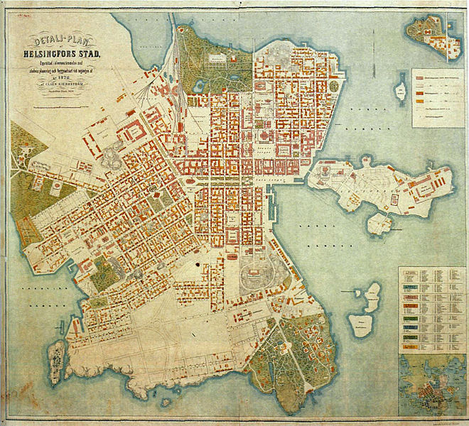
English: Engineer Claës Kjerrström's map of Helsinki from the late 1870s. Svenska: Ingenjör Claës Kjerrströms karta över Helsingfors från slutet av 1870-talet. |
||||
| Date | late 1870s | ||||
| Source | Zacharias Topelius: Finlands krönika 1860-1878. Helsingfors 2004 | ||||
| Creator |
Claës Kjerrström |
||||
| Permission (Reusing this file) |
|
||||
| Georeferencing | If inappropriate please set warp_status = skip to hide. | ||||
Categories
[edit]
File history
Click on a date/time to view the file as it appeared at that time.
| Date/Time | Thumbnail | Dimensions | User | Comment | |
|---|---|---|---|---|---|
| current | 16:53, 1 January 2012 | | 1,561 × 1,419 (2.25 MB) | Årvasbåo (talk | contribs) | {{Information |Description={{en|1=Engineer Claës Kjerrström's map of Helsinki from the late 1870s.}}{{sv|1=Ingenjör Claës Kjerrströms karta över Helsingfors från slutet av 1870-talet.}} |Source=Zacharias Topelius: ''Finlands krönika 1860-1878.'' H |
You cannot overwrite this file.
File usage on Commons
There are no pages that use this file.
File usage on other wikis
The following other wikis use this file:
- Usage on de.wikipedia.org
- Usage on fi.wikipedia.org