File:Kirk Road at the A702 - geograph.org.uk - 656155.jpg
Jump to navigation
Jump to search
No higher resolution available.
Kirk_Road_at_the_A702_-_geograph.org.uk_-_656155.jpg (640 × 480 pixels, file size: 87 KB, MIME type: image/jpeg)
Captions
Captions
Add a one-line explanation of what this file represents
Summary
[edit]
| Description |
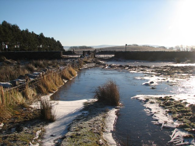
English: Kirk Road at the A702 The first 100m of the footpath by the A702 is generally wet and muddy, not helped by extensive vehicle tracks in this corner of the field. Even on a morning of hard frost it was still not possible to cross dry shod without crossing the fence to the adjacent field. |
| Date | |
| Source | From geograph.org.uk |
| Author | Callum Black |
| Attribution (required by the license) | Callum Black / Kirk Road at the A702 / |
| Camera location | | View this and other nearby images on: OpenStreetMap |
|---|
_heading:135.00&language=en)
| Object location | | View this and other nearby images on: OpenStreetMap |
|---|
_heading:135.00&language=en)
Licensing
[edit]

|
This image was taken from the Geograph project collection. See this photograph's page on the Geograph website for the photographer's contact details. The copyright on this image is owned by Callum Black and is licensed for reuse under the Creative Commons Attribution-ShareAlike 2.0 license.
|
This file is licensed under the Creative Commons Attribution-Share Alike 2.0 Generic license.
Attribution: Callum Black
- You are free:
- to share – to copy, distribute and transmit the work
- to remix – to adapt the work
- Under the following conditions:
- attribution – You must give appropriate credit, provide a link to the license, and indicate if changes were made. You may do so in any reasonable manner, but not in any way that suggests the licensor endorses you or your use.
- share alike – If you remix, transform, or build upon the material, you must distribute your contributions under the same or compatible license as the original.
File history
Click on a date/time to view the file as it appeared at that time.
| Date/Time | Thumbnail | Dimensions | User | Comment | |
|---|---|---|---|---|---|
| current | 15:11, 7 February 2011 | | 640 × 480 (87 KB) | GeographBot (talk | contribs) | == {{int:filedesc}} == {{Information |description={{en|1=Kirk Road at the A702 The first 100m of the footpath by the A702 is generally wet and muddy, not helped by extensive vehicle tracks in this corner of the field. Even on a morning of hard frost it w |
You cannot overwrite this file.
File usage on Commons
There are no pages that use this file.