File:Kiribati Gilbert Islands location map.svg

Original file (SVG file, nominally 638 × 560 pixels, file size: 41 KB)
Captions
Captions
Summary
[edit]| Description |
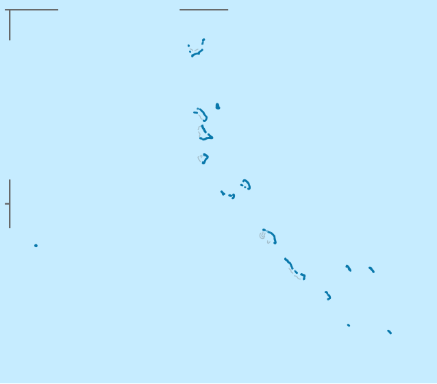
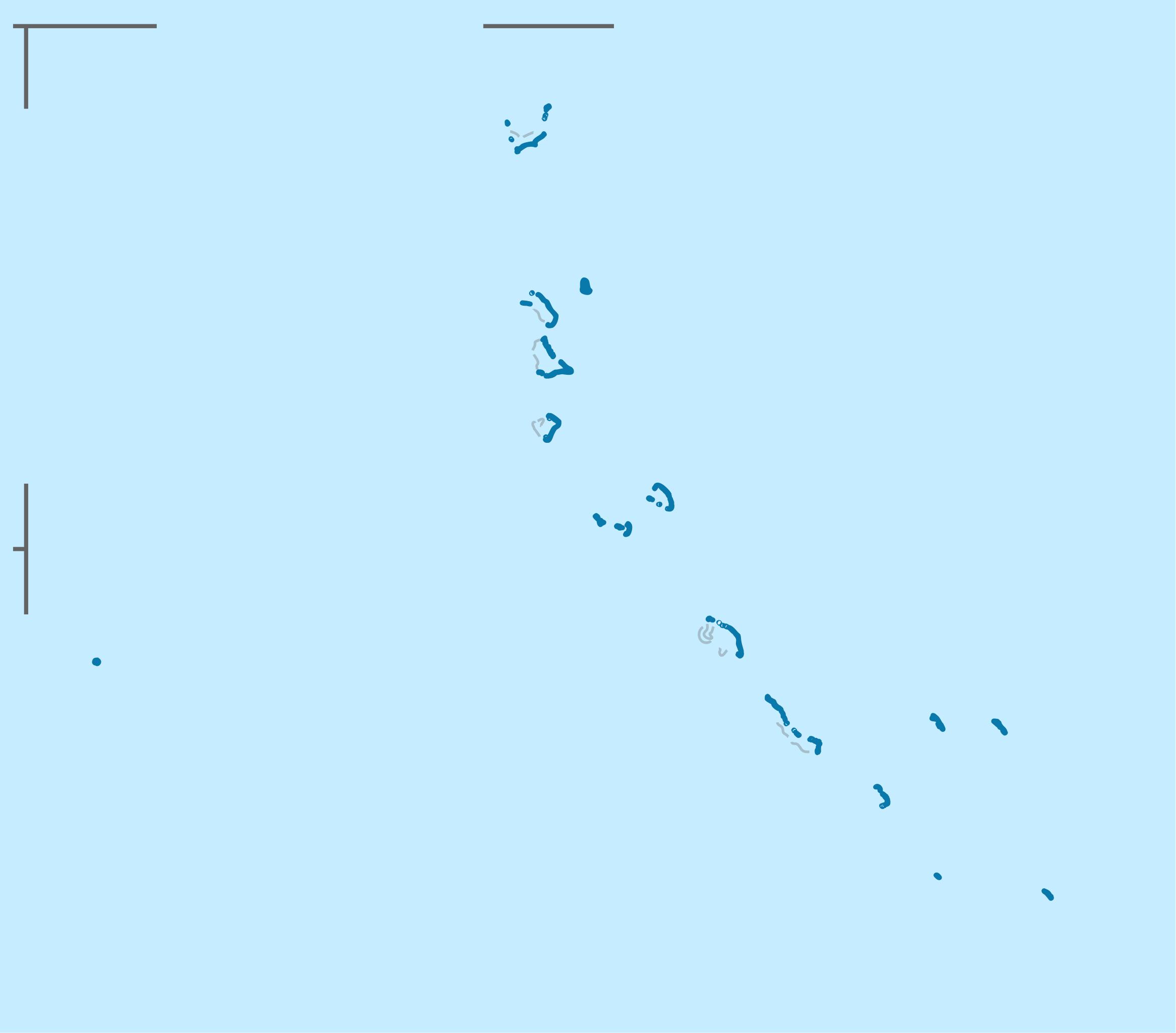
Quadratische Plattkarte. Geographische Begrenzung der Karte:
Equirectangular projection. Geographic limits of the map:
|
|
| Date | ||
| Source |
Own work, using
|
|
| Author | NordNordWest | |
| Permission (Reusing this file) |
This file is licensed under the Creative Commons Attribution-Share Alike 3.0 Germany license.
 This file is licensed under the Creative Commons Attribution-Share Alike 3.0 Germany license.
|


|
This map has been made or improved in the German Kartenwerkstatt (Map Lab). You can propose maps to improve as well.
|
File history
Click on a date/time to view the file as it appeared at that time.
| Date/Time | Thumbnail | Dimensions | User | Comment | |
|---|---|---|---|---|---|
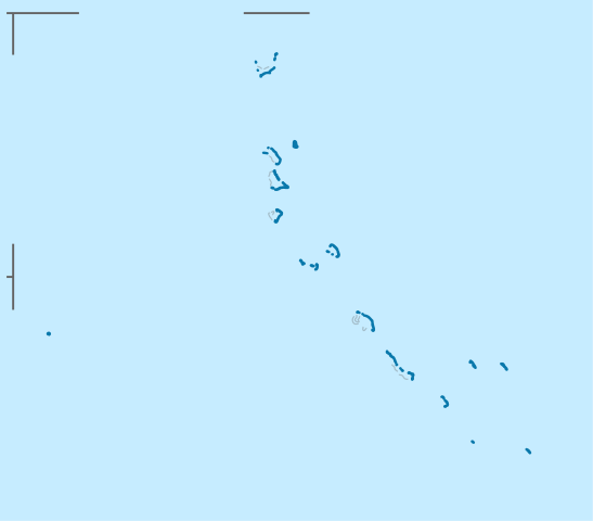
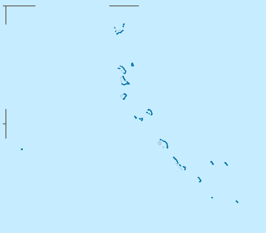
| current | 14:45, 13 November 2009 | | 638 × 560 (41 KB) | NordNordWest (talk | contribs) | {{int:filedesc}} {{Information |Description= {{de|Positionskarte der Gilbert-Inseln, Kiribati}} Quadratische Plattkarte. Geographische Begrenzung der Karte: * N: 4.2° N * S: 3.7° S * W: 168.8° O * O: 177.8° O {{ |
You cannot overwrite this file.
File usage on Commons
The following page uses this file:
File usage on other wikis
The following other wikis use this file:
- Usage on ba.wikipedia.org
- Usage on be.wikipedia.org
- Usage on ce.wikipedia.org
- Usage on de.wikipedia.org
- Abaiang
- Tarawa
- Butaritari
- Benutzer:Spischot/Sketchpad 3
- Betio
- Beru (Insel)
- Flugplatz Aranuka
- Aranuka
- Abemama
- Flugplatz Abemama
- Arorae
- Flugplatz Arorae
- Buariki (Aranuka)
- Kuria-Inseln
- Maiana
- Marakei
- Flugplatz Marakei
- Flugplatz Abaiang
- Flugplatz Beru
- Nikunau
- Nonouti
- Onotoa
- Flugplatz Nonouti
- Tabiteuea
- Flugplatz Tabiteuea Süd
- Flugplatz Tabiteuea Nord
- Tamana (Insel)
- Flugplatz Tamana
- Flugplatz Onotoa
- Wikipedia:Kartenwerkstatt/Positionskarten/Australien und Ozeanien
- Vorlage:Positionskarte Kiribati Gilbertinseln
- Wikipedia:Kartenwerkstatt/Archiv/2009-11
- Bonriki
- Makin (Inselgruppe)
- Flugplatz Butaritari
- Flugplatz Kuria
- Bairiki National Stadium
- North Tarawa
- Takaeang
- Buariki (Kuria)
- Oneeke
- Abatiku
- Bike (Insel)
- Nuotaea
View more global usage of this file.