File:Kien An Airport OSM map.png
Jump to navigation
Jump to search
Size of this preview: 800 × 545 pixels. Other resolutions: 320 × 218 pixels | 640 × 436 pixels | 1,024 × 698 pixels.
Original file (1,024 × 698 pixels, file size: 114 KB, MIME type: image/png)
Captions
Captions
Add a one-line explanation of what this file represents
| Description |
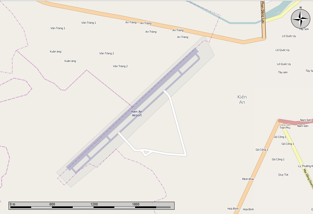
English: Open Street Map of the Kien An Airport. Made in the Marble program, cropped with GIMP. |
|||||
| Date | ||||||
| Source | Open Street Map from the Marble program | |||||
| Author | Own work | |||||
| Permission (Reusing this file) |
Map
|

File history
Click on a date/time to view the file as it appeared at that time.
| Date/Time | Thumbnail | Dimensions | User | Comment | |
|---|---|---|---|---|---|
| current | 00:16, 12 January 2014 | | 1,024 × 698 (114 KB) | Oaktree b (talk | contribs) | {{Information |Description ={{en|1=Open Street Map of the Kien An Airport. Made in the Marble program, cropped with GIMP.}} |Source =Open Street Map from the Marble program |Author ={{own}} |Date =2014-01-11 |Permission... |
You cannot overwrite this file.
File usage on Commons
The following page uses this file:
File usage on other wikis
The following other wikis use this file:
- Usage on ceb.wikipedia.org
- Usage on en.wikipedia.org
- Usage on nl.wikipedia.org
- Usage on ru.wikipedia.org
- Usage on www.wikidata.org