File:Kharkov oblast location map.svg
Jump to navigation
Jump to search

Size of this PNG preview of this SVG file: 533 × 489 pixels. Other resolutions: 262 × 240 pixels | 523 × 480 pixels | 837 × 768 pixels | 1,116 × 1,024 pixels | 2,232 × 2,048 pixels.
Original file (SVG file, nominally 533 × 489 pixels, file size: 112 KB)
Captions
Captions
Add a one-line explanation of what this file represents
Summary
[edit]
| Description |
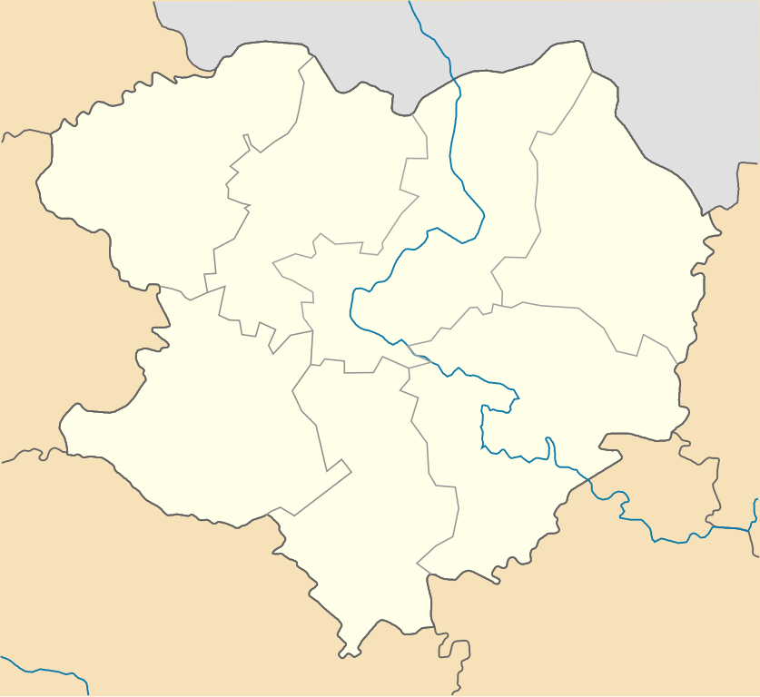
English: Districts of the Kharkiv region, from July 17, C.E.2020 Русский: Районы Харьковской области с 17 июля 2020 года |
| Date | |
| Source | Own work |
| Author | RosssW |
Licensing
[edit]
I, the copyright holder of this work, hereby publish it under the following license:
This file is licensed under the Creative Commons Attribution-Share Alike 4.0 International license.
- You are free:
- to share – to copy, distribute and transmit the work
- to remix – to adapt the work
- Under the following conditions:
- attribution – You must give appropriate credit, provide a link to the license, and indicate if changes were made. You may do so in any reasonable manner, but not in any way that suggests the licensor endorses you or your use.
- share alike – If you remix, transform, or build upon the material, you must distribute your contributions under the same or compatible license as the original.
File history
Click on a date/time to view the file as it appeared at that time.
| Date/Time | Thumbnail | Dimensions | User | Comment | |
|---|---|---|---|---|---|
| current | 10:52, 7 August 2020 | | 533 × 489 (112 KB) | RosssW (talk | contribs) | корр. |
| 09:24, 7 August 2020 |  | 533 × 489 (112 KB) | RosssW (talk | contribs) | корр. | |
| 08:13, 7 August 2020 |  | 533 × 489 (111 KB) | RosssW (talk | contribs) | уточ. | |
| 15:04, 6 August 2020 |  | 533 × 489 (111 KB) | RosssW (talk | contribs) | Uploaded own work with UploadWizard |
You cannot overwrite this file.
File usage on Commons
There are no pages that use this file.
File usage on other wikis
The following other wikis use this file:
- Usage on ar.wikipedia.org
- Usage on be.wikipedia.org
- Харкаў
- Ізюм
- Чугуіў
- Шаблон:На карце/Украіна Харкаўская вобласць
- Балаклія
- Барвінкавэ
- Багадухіў
- Валкы
- Ваўчанск (Харкаўская вобласць)
- Дэргачы
- Змііў
- Бэрэстын
- Куп’янск
- Лазава
- Мэрэфа
- Вэлыкы Бурлук
- Златапіль
- Піўдэннэ
- Люботын
- Золачыў (Харкаўская вобласць)
- Новапакроўка (Харкаўская вобласць)
- Андрыіўка (Харкаўская вобласць)
- Слабажанскэ (Чугуіўскі раён)
- Слабажанскэ (Краснаградскі раён)
- Біркы (Харкаўская вобласць)
- Эсхар
- Нава Вадалага
- Блызнюкы
- Буды (Харкаўская вобласць)
- Білы Калодзязь
- Бабаі
- Арылька
- Барава (Харкаўская вобласць)
- Бэрэзіўка (Харкаўскі раён)
- Вільча (Харкаўская вобласць)
- Вільшаны
- Высокы (Харкаўская вобласць)
- Ввэдэнка
- Васышчэвэ
- Слатынэ
- Шэўчэнкавэ (Харкаўская вобласць)
- Чкалаўскэ
- Шарыўка
- Стары Мэрчык
- Стары Салціў
- Уткіўка
- Хорашэвэ
- Пакатыліўка
- Краснакуцк
View more global usage of this file.