File:Kent UK district map (blank).svg
Jump to navigation
Jump to search

Size of this PNG preview of this SVG file: 800 × 561 pixels. Other resolutions: 320 × 225 pixels | 640 × 449 pixels | 1,024 × 719 pixels | 1,280 × 898 pixels | 2,560 × 1,796 pixels | 1,425 × 1,000 pixels.
Original file (SVG file, nominally 1,425 × 1,000 pixels, file size: 1.18 MB)
Captions
Captions
Add a one-line explanation of what this file represents
| Description |
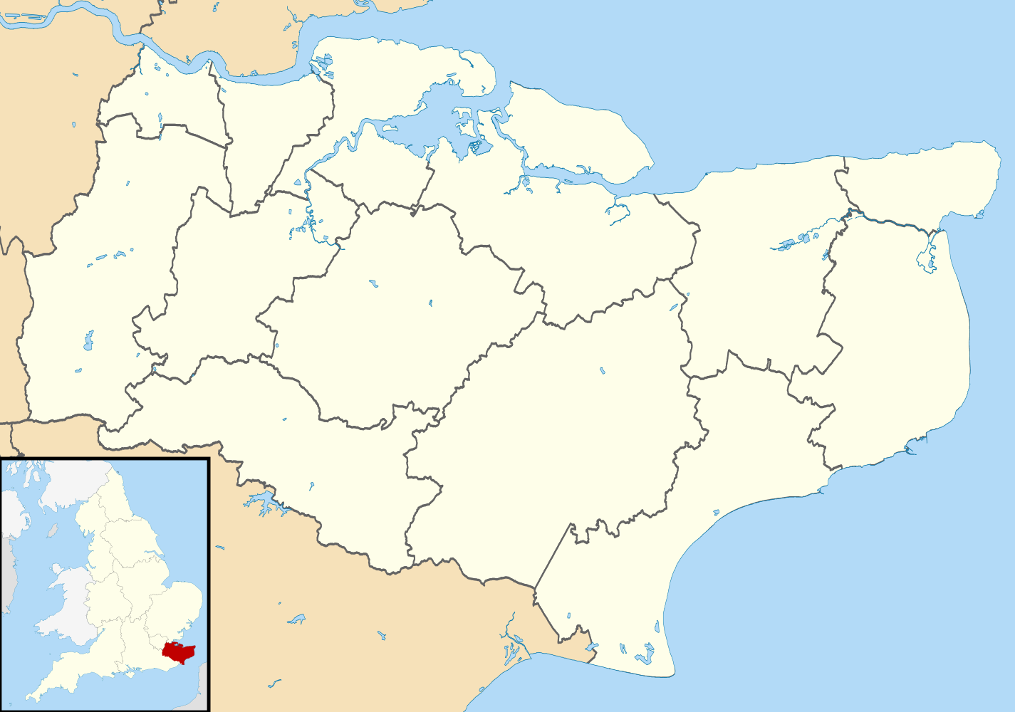
Map of Kent, UK with districts shown. Equirectangular map projection on WGS 84 datum, with N/S stretched 160% Geographic limits:
|
| Date | |
| Source | Ordnance Survey OpenData. Most data from Boundary-Line product. Lake data from Meridian 2 product. Inset derived from England location map.svg by Spischot. |
| Author | Nilfanion, created using Ordnance Survey data |
| Permission (Reusing this file) |
This file is licensed under the Creative Commons Attribution-Share Alike 3.0 Unported license. Attribution: Contains Ordnance Survey data © Crown copyright and database right
|
File history
Click on a date/time to view the file as it appeared at that time.
| Date/Time | Thumbnail | Dimensions | User | Comment | |
|---|---|---|---|---|---|
| current | 08:11, 22 August 2010 | | 1,425 × 1,000 (1.18 MB) | Nilfanion (talk | contribs) | +inset, water colour tweak |
| 23:40, 16 July 2010 |  | 1,425 × 1,000 (849 KB) | Nilfanion (talk | contribs) | {{Information |Description=Map of Kent, UK with districts shown. Equirectangular map projection on WGS 84 datum, with N/S stretched 160% Geographic limits: *West: 0.01E *East: 1.47E *North: 51.52N *South: 50.88N |Source=[[w:Ordnance Survey|Or |
You cannot overwrite this file.
File usage on Commons
The following 3 pages use this file:
File usage on other wikis
The following other wikis use this file:
- Usage on ast.wikipedia.org
- Usage on de.wikipedia.org
- Isle of Sheppey
- Kernkraftwerk Dungeness
- Dover Castle
- Priestfield Stadium
- Isle of Grain
- Chatham Dockyard
- Offshore-Windpark Thanet
- Vorlage:Positionskarte England Kent
- St Mary’s Church (Sandwich)
- St James’ Church (Cooling)
- Offshore-Windpark Kentish Flats
- Walmer Castle
- Deal Castle
- Kent International Airport
- Rochester Castle
- All Saints Church (Ulcombe)
- Tonbridge Castle
- Canterbury Castle
- Bewl Water
- Medway Viaducts
- Kent Messenger Millennium Bridge
- Flughafen Lydd
- Usage on en.wikipedia.org
- Usage on es.wikipedia.org
.svg&oldid=468628163)