File:Kelly House (geograph 1852276).jpg
Jump to navigation
Jump to search
No higher resolution available.
Kelly_House_(geograph_1852276).jpg (640 × 480 pixels, file size: 71 KB, MIME type: image/jpeg)
Captions
Captions
Add a one-line explanation of what this file represents
Summary
[edit].jpg&action=edit§ion=1)
| Description |
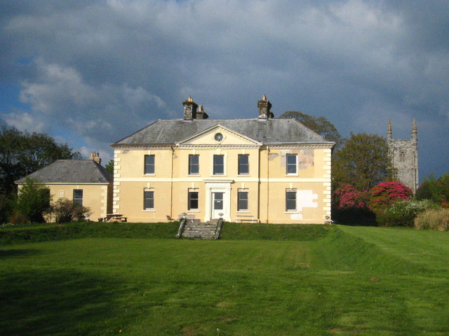
English: Kelly House, Kelly, Devon, seen from the southwest, with the west tower of the parish church of St Mary the Virgin to the right |
| Date | |
| Source | From geograph.org.uk |
| Author | Rod Allday |
| Permission (Reusing this file) |
Creative Commons Attribution Share-alike license 2.0 |
| Attribution (required by the license) | Rod Allday / Kelly House / |
| Camera location | | View this and other nearby images on: OpenStreetMap |
|---|
.jpg¶ms=050.609699_N_-004.271302_E_globe:Earth_type:camera_heading:67.00_source:geograph&language=en)
| Object location | | View this and other nearby images on: OpenStreetMap |
|---|
.jpg¶ms=050.610030_N_-004.270500_E_globe:Earth_class:object_type:object_source:geograph-osgb36(SX39448138)_region:GB-GBN_heading:67.00&language=en)
Licensing
[edit].jpg&action=edit§ion=2)

|
This image was taken from the Geograph project collection. See this photograph's page on the Geograph website for the photographer's contact details. The copyright on this image is owned by Rod Allday and is licensed for reuse under the Creative Commons Attribution-ShareAlike 2.0 license.
|
This file is licensed under the Creative Commons Attribution-Share Alike 2.0 Generic license.
Attribution: Rod Allday
- You are free:
- to share – to copy, distribute and transmit the work
- to remix – to adapt the work
- Under the following conditions:
- attribution – You must give appropriate credit, provide a link to the license, and indicate if changes were made. You may do so in any reasonable manner, but not in any way that suggests the licensor endorses you or your use.
- share alike – If you remix, transform, or build upon the material, you must distribute your contributions under the same or compatible license as the original.
This file, which was originally posted to
geograph.org.uk, was reviewed on 4 September 2020 by reviewer Taivo, who confirmed that it was available there under the stated license on that date.
|
File history
Click on a date/time to view the file as it appeared at that time.
| Date/Time | Thumbnail | Dimensions | User | Comment | |
|---|---|---|---|---|---|
| current | 18:18, 13 August 2016 | | 640 × 480 (71 KB) | Rodw (talk | contribs) | Transferred from geograph.co.uk using [https://tools.wmflabs.org/geograph2commons/ geograph2commons] |
You cannot overwrite this file.
File usage on Commons
The following 2 pages use this file:
File usage on other wikis
The following other wikis use this file:
- Usage on ceb.wikipedia.org
- Usage on cy.wikipedia.org
- Usage on en.wikipedia.org
- Usage on fr.wikipedia.org
- Usage on lld.wikipedia.org
- Usage on nl.wikipedia.org
- Usage on pl.wikipedia.org
- Usage on www.wikidata.org
.jpg&oldid=898648546)
Categories:
- 18th-century architecture in Devon
- 1880s church towers in England
- 1880s Gothic Revival architecture in England
- Built in England in 1745
- Church of St Mary the Virgin, Kelly
- Gothic Revival church towers in Devon
- Hipped roofs in England
- Kelly House
- Lawns in Devon
- Pediments in England
- Pinnacles in Devon
- Round windows in England
- Steps in England
- Windows in Devon
- Yellow houses in the United Kingdom
- May 2010 in Devon