File:Kelantan district location map.png
Jump to navigation
Jump to search
Size of this preview: 698 × 599 pixels. Other resolutions: 280 × 240 pixels | 559 × 480 pixels | 1,005 × 863 pixels.
Original file (1,005 × 863 pixels, file size: 162 KB, MIME type: image/png)
Captions
Captions
Add a one-line explanation of what this file represents
Summary
[edit]| Description |
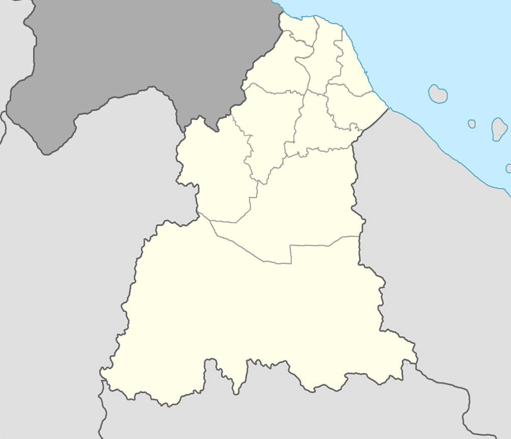
English: Kelantan district location map
Bahasa Melayu: Peta lokasi jajahan Kelantan
Had geografi peta:
|
|||
| Date | ||||
| Source | Own work | |||
| Author | Mhby87 |


Licensing
[edit]
| I, the copyright holder of this work, release this work into the public domain. This applies worldwide. In some countries this may not be legally possible; if so: I grant anyone the right to use this work for any purpose, without any conditions, unless such conditions are required by law. |
File history
Click on a date/time to view the file as it appeared at that time.
| Date/Time | Thumbnail | Dimensions | User | Comment | |
|---|---|---|---|---|---|
| current | 16:30, 20 August 2010 | | 1,005 × 863 (162 KB) | Mhby87 (talk | contribs) | Jeli Parliament boundary change to Jeli district boundary and do some rotation |
| 15:04, 25 July 2010 |  | 1,060 × 898 (75 KB) | Mhby87 (talk | contribs) | {{Information |Description={{en|1=Kelantan district location map}} {{ms|1=Peta lokasi jajahan Kelantan}} |Source=Own work |Author=Mhby87 |Date=2010-07-25 |Permission= |other_versions= }} Category:Maps of Kelantan |
You cannot overwrite this file.
File usage on Commons
There are no pages that use this file.
File usage on other wikis
The following other wikis use this file:
- Usage on id.wikipedia.org
- Usage on ms.wikipedia.org