File:Kehä III Kalkkikallio.jpg
Jump to navigation
Jump to search
Size of this preview: 800 × 582 pixels. Other resolutions: 320 × 233 pixels | 640 × 465 pixels | 1,024 × 744 pixels | 1,280 × 930 pixels | 2,556 × 1,858 pixels.
Original file (2,556 × 1,858 pixels, file size: 1.15 MB, MIME type: image/jpeg)
Captions
Captions
Add a one-line explanation of what this file represents
Summary
[edit]
| Description |
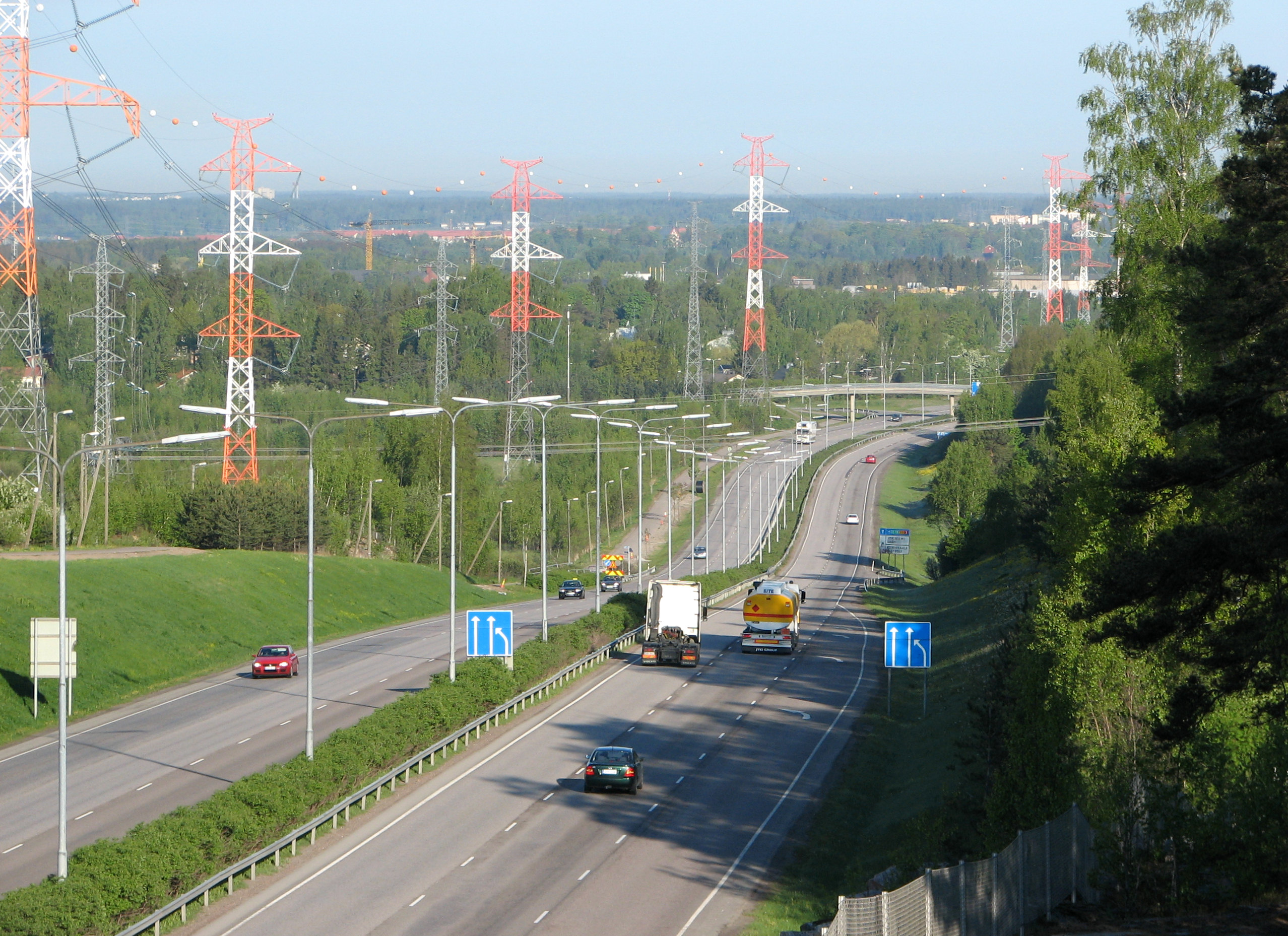
English: Ring road III (national road 50, E18) between Kuninkaala and Vanha Porvoontie interchanges in Vantaa.
Suomi: Kehä III (kantatie 50, E18) länteen Kuninkaalan ja Vanhan Porvoontien liittymien välillä Vantaalla. |
| Date | |
| Source | Own work |
| Author | Antti Havukainen |
| Camera location | | View this and other nearby images on: OpenStreetMap |
|---|
Licensing
[edit]
I, the copyright holder of this work, hereby publish it under the following license:
This file is licensed under the Creative Commons Attribution 3.0 Unported license.
- You are free:
- to share – to copy, distribute and transmit the work
- to remix – to adapt the work
- Under the following conditions:
- attribution – You must give appropriate credit, provide a link to the license, and indicate if changes were made. You may do so in any reasonable manner, but not in any way that suggests the licensor endorses you or your use.
File history
Click on a date/time to view the file as it appeared at that time.
| Date/Time | Thumbnail | Dimensions | User | Comment | |
|---|---|---|---|---|---|
| current | 22:07, 11 February 2017 | | 2,556 × 1,858 (1.15 MB) | Anttihav (talk | contribs) | Higher resolution |
| 21:14, 21 March 2009 |  | 1,024 × 768 (280 KB) | Anttihav (talk | contribs) | {{Information |Description={{en|1=Ring road III (national road 50, E18) between Kuninkaala and Vanha Porvoontie interchanges in Vantaa.}} {{fi|1=Kehä III (kantatie 50, E18) länteen Kuninkaalan ja Vanhan Porvoontien liittymien välillä Vantaalla.}} |Sou |
You cannot overwrite this file.
File usage on Commons
The following 3 pages use this file:
File usage on other wikis
The following other wikis use this file:
- Usage on en.wikipedia.org
- Usage on fi.wikipedia.org
- Usage on fr.wikipedia.org
- Usage on uk.wikipedia.org
- Usage on www.wikidata.org
- Usage on zh.wikipedia.org