File:Kegen District Kazakhstan.png
Jump to navigation
Jump to search

Size of this preview: 800 × 512 pixels. Other resolutions: 320 × 205 pixels | 640 × 409 pixels | 1,024 × 655 pixels | 1,598 × 1,022 pixels.
Original file (1,598 × 1,022 pixels, file size: 59 KB, MIME type: image/png)
Captions
Captions
Add a one-line explanation of what this file represents
Summary
[edit]
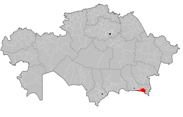
| Description | Map of the rayons of Kazakhstan. Created by Rarelibra 16:49, 3 August 2007 (UTC) for public domain use, using MapInfo Professional v8.5 and various mapping resources. |
| Date | 3 August 2007 (original upload date) |
| Source |
This file was derived from: Kazakhstan rayons.png: |
| Author |
|
| This is a retouched picture, which means that it has been digitally altered from its original version. The original can be viewed here: Kazakhstan rayons.png:
|
Licensing
[edit]
I, the copyright holder of this work, hereby publish it under the following license:
| I, the copyright holder of this work, release this work into the public domain. This applies worldwide. In some countries this may not be legally possible; if so: I grant anyone the right to use this work for any purpose, without any conditions, unless such conditions are required by law. |
Original upload log
[edit]
This image is a derivative work of the following images:
- File:Kazakhstan rayons.png licensed with PD-self
- 2023-04-12T08:19:41Z Білгіш Шежіреші 1598x1022 (60192 Bytes) Fixed the borders of Glubokoye, Zhambyl (Almaty), Sarkan rayons and Oskemen, Semei, Konayev cities
- 2023-04-11T21:25:28Z Білгіш Шежіреші 1598x1022 (60240 Bytes) Added new Zhetysu Oblast
- 2023-04-11T20:36:01Z Білгіш Шежіреші 1598x1022 (59979 Bytes) Fixed the borders of Munaily, Arys, Akzhaik, Makat, Amangeldy rayons
- 2023-04-08T09:00:57Z Sibom 1598x1022 (71762 Bytes) 2 область, Шымкент
- 2013-04-08T16:40:51Z Ras67 1598x1022 (29576 Bytes) cropped, -bg, opt.
- 2013-01-11T17:56:29Z Kaiyr 1601x1025 (94977 Bytes) fix Bukhar zhyrau raion
- 2011-09-01T18:28:07Z Sibom 1601x1025 (95028 Bytes) almaty
- 2011-08-27T17:29:26Z Sibom 1601x1025 (95768 Bytes) цвет
- 2011-08-27T17:22:48Z Sibom 1601x1025 (95815 Bytes) + граница Аральского моря, граница Астаны, новый Мунайлинский район в Мангистауской области
- 2007-08-03T16:49:43Z Rarelibra 1601x1025 (56761 Bytes) Map of the rayons of Kazakhstan. Created by ~~~~ for public domain use, using MapInfo Professional v8.5 and various mapping resources.
Uploaded with derivativeFX
Licensing
[edit]
I, the copyright holder of this work, hereby publish it under the following license:
| This file is made available under the Creative Commons CC0 1.0 Universal Public Domain Dedication. | |
| The person who associated a work with this deed has dedicated the work to the public domain by waiving all of their rights to the work worldwide under copyright law, including all related and neighboring rights, to the extent allowed by law. You can copy, modify, distribute and perform the work, even for commercial purposes, all without asking permission.
|
File history
Click on a date/time to view the file as it appeared at that time.
| Date/Time | Thumbnail | Dimensions | User | Comment | |
|---|---|---|---|---|---|
| current | 19:53, 12 April 2023 | | 1,598 × 1,022 (59 KB) | Casserium (talk | contribs) | == {{int:filedesc}} == {{Information |Description=Map of the rayons of Kazakhstan. Created by Rarelibra 16:49, 3 August 2007 (UTC) for public domain use, using MapInfo Professional v8.5 and various mapping resources. |date = {{Original upload date|2007-08-03}} |Source={{Derived from|Kazakhstan rayons.png|display=50}} |Date=2023-04-12 19:46 (UTC) |Author=* Kazakhstan rayons.png: Rarelibra * derivative work: [[User:{{subst:R... |
You cannot overwrite this file.
File usage on Commons
There are no pages that use this file.
File usage on other wikis
The following other wikis use this file:
- Usage on kk.wikipedia.org