File:Kazafuki Pass cropped GSI CCB912X-C15-4 19911122.jpg
Jump to navigation
Jump to search

Size of this preview: 523 × 599 pixels. Other resolutions: 209 × 240 pixels | 419 × 480 pixels | 769 × 881 pixels.
Original file (769 × 881 pixels, file size: 1.21 MB, MIME type: image/jpeg)
Captions
Captions
Add a one-line explanation of what this file represents
Summary
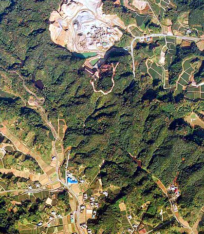
[edit]| Description | The Geographical Survey Institute took the aerial photograph in Daitō Town, Ogasa District, Shizuoka Prefecture on November 22, 1991. | ||||
| Date | |||||
| Source | 地図検索表示画面 | ||||
| Author | 国土地理院 | ||||
| Permission (Reusing this file) |
This file is licensed under the Creative Commons Attribution 4.0 International license. Attribution: 国土地理院ウェブサイト
|
||||
| Other versions |


File history
Click on a date/time to view the file as it appeared at that time.
| Date/Time | Thumbnail | Dimensions | User | Comment | |
|---|---|---|---|---|---|
| current | 00:39, 27 February 2024 | | 769 × 881 (1.21 MB) | Oku niji mannoka zu (talk | contribs) | {{Information |Description=The Geographical Survey Institute took the aerial photograph in Daitō Town, Ogasa District, Shizuoka Prefecture on November 22, 1991. |Source=[https://mapps.gsi.go.jp/maplibSearch.do?specificationId=688867 地図検索表示画面] |Date=1991-11-22 |Author=国土地理院 |Permission={{Gjstu-2.0|terms=https://www.gsi.go.jp/kikakuchousei/kikakuchousei4018... |
You cannot overwrite this file.
File usage on Commons
The following page uses this file:
File usage on other wikis
The following other wikis use this file:
- Usage on ja.wikipedia.org