File:Kaysersberg Bains02.JPG
From Wikimedia Commons, the free media repository
Jump to navigation
Jump to search
Size of this preview: 800 × 600 pixels. Other resolutions: 320 × 240 pixels | 640 × 480 pixels | 1,024 × 768 pixels | 1,280 × 960 pixels | 2,560 × 1,920 pixels | 4,000 × 3,000 pixels.
Original file (4,000 × 3,000 pixels, file size: 1.15 MB, MIME type: image/jpeg)
File information
Structured data
Captions
Captions
Add a one-line explanation of what this file represents
Summary
[edit]DescriptionKaysersberg Bains02.JPG |
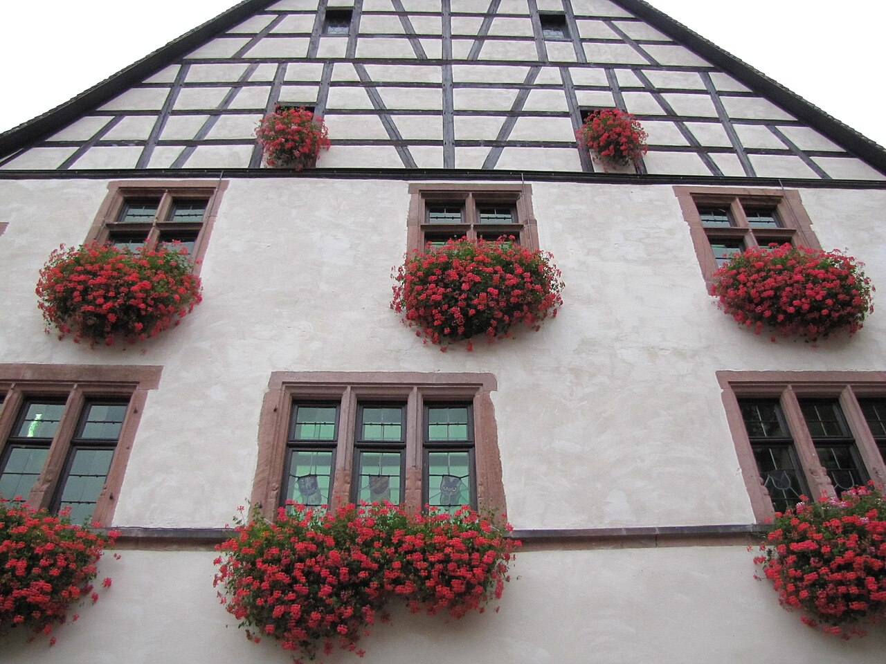
Français : Alsace, Haut-Rhin, Kaysersberg, Ancienne maison des bains publics (XVIe-XVIIe), 103 rue du Général-de-Gaulle.
|
||
Date | |||
Source | Own work | ||
Author | © Ralph Hammann - Wikimedia Commons | ||
Permission (Reusing this file) |
I, the copyright holder of this work, hereby publish it under the following licenses:
![]() ![]() ![]() This file is licensed under the Creative Commons Attribution-Share Alike 3.0 Unported, 2.5 Generic, 2.0 Generic and 1.0 Generic license.
You may select the license of your choice. |
Object location | 48° 08′ 24.21″ N, 7° 15′ 39.81″ E ![]() | View this and other nearby images on: OpenStreetMap | ![]() |
---|
File history
Click on a date/time to view the file as it appeared at that time.
Date/Time | Thumbnail | Dimensions | User | Comment | |
---|---|---|---|---|---|
current | 18:41, 13 October 2010 | 4,000 × 3,000 (1.15 MB) | Ralph Hammann (talk | contribs) | {{Information |Description={{fr|1=Alsace, Haut-Rhin, Kaysersberg, Anciens bains publics, Auberge du Pont (1600)}} |Source={{own}} |Author=Rh-67 |Date=2010 |Permission= |other_versions= }} Category:Kaysersberg [[Category:Timber framing |
You cannot overwrite this file.
File usage on Commons
There are no pages that use this file.
Metadata
This file contains additional information such as Exif metadata which may have been added by the digital camera, scanner, or software program used to create or digitize it. If the file has been modified from its original state, some details such as the timestamp may not fully reflect those of the original file. The timestamp is only as accurate as the clock in the camera, and it may be completely wrong.
Camera manufacturer | Canon |
---|---|
Camera model | Canon PowerShot SX20 IS |
Exposure time | 1/1,000 sec (0.001) |
F-number | f/2.8 |
ISO speed rating | 400 |
Date and time of data generation | 13:00, 9 October 2010 |
Lens focal length | 5 mm |
Orientation | Normal |
Horizontal resolution | 180 dpi |
Vertical resolution | 180 dpi |
File change date and time | 13:00, 9 October 2010 |
Y and C positioning | Co-sited |
Exif version | 2.21 |
Date and time of digitizing | 13:00, 9 October 2010 |
Image compression mode | 2 |
APEX shutter speed | 9.96875 |
APEX aperture | 2.96875 |
APEX exposure bias | 0 |
Maximum land aperture | 2.96875 APEX (f/2.8) |
Metering mode | Pattern |
Flash | Flash did not fire, compulsory flash suppression |
Color space | sRGB |
Focal plane X resolution | 16,393.442622951 |
Focal plane Y resolution | 16,393.442622951 |
Focal plane resolution unit | inches |
Sensing method | One-chip color area sensor |
Custom image processing | Normal process |
Exposure mode | Auto exposure |
White balance | Auto white balance |
Digital zoom ratio | 1 |
Scene capture type | Standard |
Structured data
Items portrayed in this file
depicts
some value
some value
2010
48°8'24.205"N, 7°15'39.812"E
Hidden categories:
- Base Mérimée
- Monuments historiques classés
- Mérimée with PA parameter
- Cultural heritage monuments in France with known IDs
- Cultural heritage monuments in France missing SDC depicts
- Cultural heritage monuments in France missing SDC location of creation
- License migration redundant
- GFDL
- CC-BY-SA-3.0,2.5,2.0,1.0
- Self-published work
- Files with coordinates missing SDC location of creation (48° N, 7° E)
- Photographs of Kaysersberg by Ralph Hammann
- Taken with Canon PowerShot SX20 IS