File:Karte des Bober-Katzbach-Gebirges (68902426).jpg
Jump to navigation
Jump to search

Size of this preview: 558 × 599 pixels. Other resolutions: 224 × 240 pixels | 447 × 480 pixels | 715 × 768 pixels | 954 × 1,024 pixels | 1,908 × 2,048 pixels | 12,476 × 13,393 pixels.
Original file (12,476 × 13,393 pixels, file size: 34.64 MB, MIME type: image/jpeg)
Captions
Captions
Add a one-line explanation of what this file represents
Summary
[edit]| Warning | The original file is very high-resolution. It might not load properly or could cause your browser to freeze when opened at full size. |
|---|
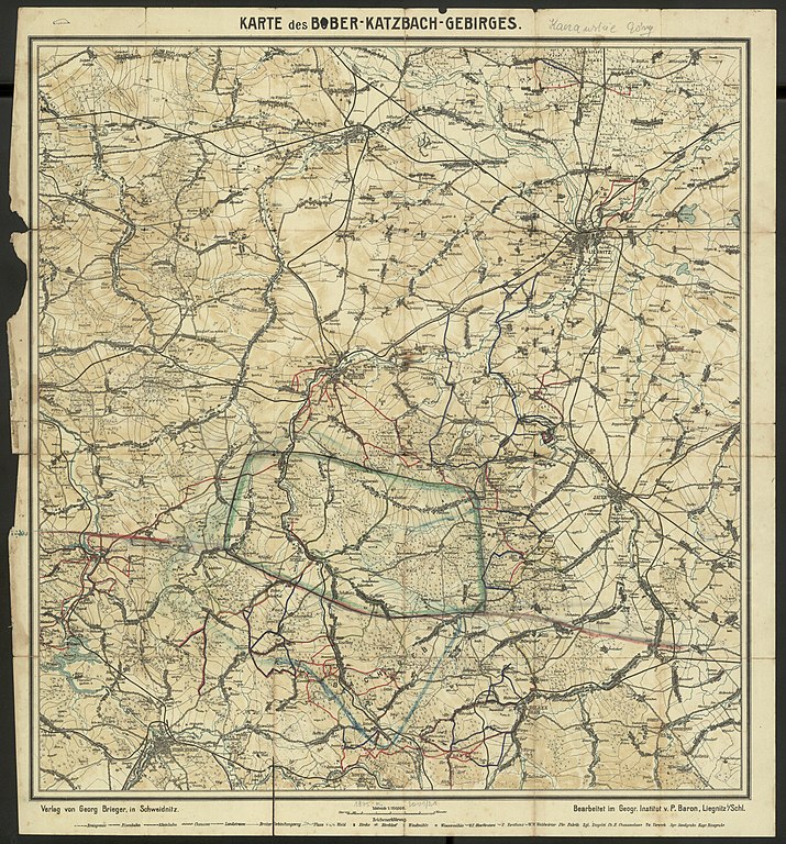
| Karte des Bober-Katzbach-Gebirges | ||||||||||||||||||||||||
|---|---|---|---|---|---|---|---|---|---|---|---|---|---|---|---|---|---|---|---|---|---|---|---|---|
| Title |
Karte des Bober-Katzbach-Gebirges |
|||||||||||||||||||||||
| Publisher |
Verlag von Georg Brieger Imprint: Schweidnitz : Verlag von Georg Brieger, [ok. 1918] |
|||||||||||||||||||||||
| Description |
Polski: 1 mapa : wielobarwna ; 51x49 cm, arkusz 56x51 cm
Polski: Tytuł znad ramki mapy.
Polski: Verso: blanco.
Polski: Pod dolną ramką: z lewej strony - Verlag von Georg Brieger, in Schweidnitz; z prawej strony - Bearbeitet im Geogr. Institut v. P. Baron, Liegnitz i/Schl. |
|||||||||||||||||||||||
| Publication date | [ok. 1918] | |||||||||||||||||||||||
| Collection |
|
|||||||||||||||||||||||
| Source | https://polona.pl/item/68902426/0 | |||||||||||||||||||||||

.jpg&action=edit§ion=1)
.jpg&flash=no)
Licensing
[edit].jpg&action=edit§ion=2)
|
This work is in the public domain in its country of origin and other countries and areas where the copyright term is the author's life plus 70 years or fewer. | |
| This file has been identified as being free of known restrictions under copyright law, including all related and neighboring rights. | |

|
This file was uploaded to Wikimedia Commons as part of a GLAM-Wiki partnership between the National Library of Poland and Wikimedia Polska.
|
File history
Click on a date/time to view the file as it appeared at that time.
| Date/Time | Thumbnail | Dimensions | User | Comment | |
|---|---|---|---|---|---|
| current | 18:10, 14 February 2019 | | 12,476 × 13,393 (34.64 MB) | Polona Upload (talk | contribs) |
You cannot overwrite this file.
File usage on Commons
The following 2 pages use this file:
.jpg)
.jpg&oldid=664191274)