File:Karte der Straßenbahn Jerusalem (topographisch).png
Jump to navigation
Jump to search

Size of this preview: 711 × 600 pixels. Other resolutions: 285 × 240 pixels | 569 × 480 pixels | 910 × 768 pixels | 1,214 × 1,024 pixels | 1,485 × 1,253 pixels.
Original file (1,485 × 1,253 pixels, file size: 980 KB, MIME type: image/png)
Captions
Captions
Add a one-line explanation of what this file represents
Summary
[edit]| Description |
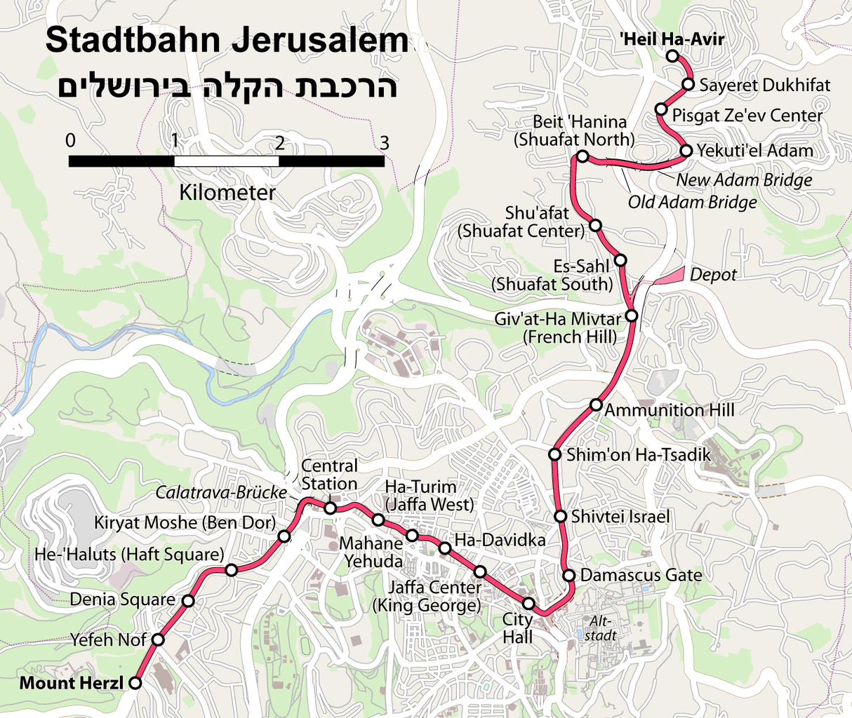
Deutsch: Karte der Straßenbahn Jerusalem
English: Map of the Jerusalem tramway |
| Date | see file history |
| Source |
own work, using
|
| Author | Maximilian Dörrbecker (Chumwa) |
| Permission (Reusing this file) |
All OpenStreetMap data and maps are Creative Commons "CC-BY-SA 2.0" licensed This file is licensed under the Creative Commons Attribution-Share Alike 2.0 Generic license.
Sie dürfen das Bild zu den folgenden Bedingungen nutzen:
|
| Other versions |
|

.png)


.png&action=edit§ion=1)

|
This transport map image could be re-created using vector graphics as an SVG file. This has several advantages; see Commons:Media for cleanup for more information. If an SVG form of this image is available, please upload it and afterwards replace this template with
{{vector version available|new image name}}.
It is recommended to name the SVG file “Karte der Straßenbahn Jerusalem (topographisch).svg”—then the template Vector version available (or Vva) does not need the new image name parameter. |
File history
Click on a date/time to view the file as it appeared at that time.
| Date/Time | Thumbnail | Dimensions | User | Comment | |
|---|---|---|---|---|---|
| current | 05:58, 8 October 2011 | | 1,485 × 1,253 (980 KB) | Chumwa (talk | contribs) | Straßenbahn -> Stadtbahn |
| 06:06, 2 October 2011 |  | 1,485 × 1,253 (981 KB) | Chumwa (talk | contribs) | corr | |
| 05:12, 24 September 2011 |  | 1,485 × 1,253 (973 KB) | Chumwa (talk | contribs) | corr | |
| 20:31, 23 September 2011 |  | 1,485 × 1,253 (975 KB) | Chumwa (talk | contribs) | {{Information |Description= {{ de }} Karte der Straßenbahn Jerusalem {{ en }} Map of the Jerusalem tramway |Source=own work, using * OpenStreetMap data for the background * topographical background from Lencer * [[:File:Germany_lo |
You cannot overwrite this file.
File usage on Commons
The following 7 pages use this file:
File usage on other wikis
The following other wikis use this file:
- Usage on ar.wikipedia.org
- Usage on de.wikipedia.org
- Usage on de.wikivoyage.org
- Usage on fr.wikipedia.org
- Usage on he.wikipedia.org
- Usage on hu.wikipedia.org
- Usage on it.wikipedia.org
- Usage on pl.wikipedia.org
- Usage on ru.wikipedia.org
- Usage on uk.wikipedia.org
- Usage on www.wikidata.org
.png&oldid=476018083)