File:Karte Stuttgart 21 aussen.svg
Jump to navigation
Jump to search

Size of this PNG preview of this SVG file: 651 × 600 pixels. Other resolutions: 261 × 240 pixels | 521 × 480 pixels | 834 × 768 pixels | 1,112 × 1,024 pixels | 2,224 × 2,048 pixels | 1,000 × 921 pixels.
Original file (SVG file, nominally 1,000 × 921 pixels, file size: 325 KB)
Captions
Captions
Add a one-line explanation of what this file represents
Summary
[edit]
| Description |
|
| Date | |
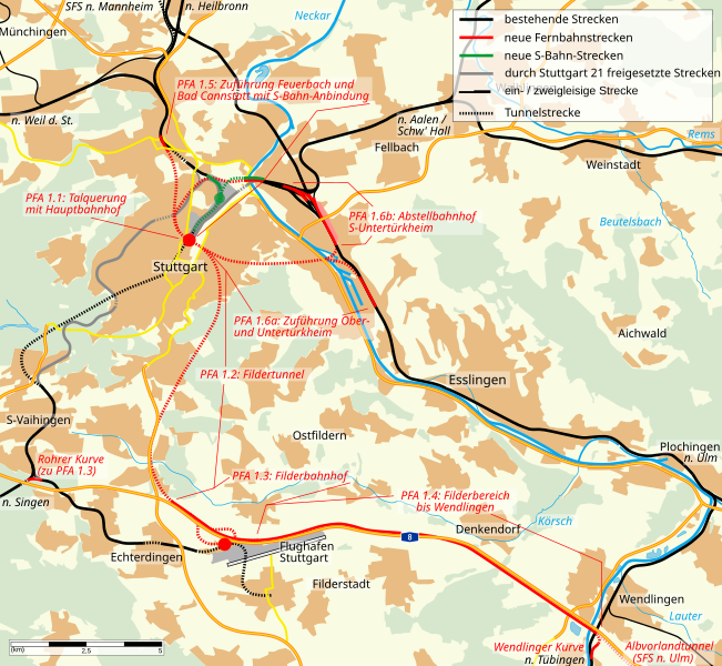
| Source | self-made, data taken from "Eisenbahnatlas Deutschland, Ausgabe 2005/2006" (ISBN 3-89494-134-0), various maps on stuttgart21.de and Topographic map TK50 |
| Author | K. Jähne |
| Other versions | PNG version, enhanced version by the Kartenwerkstatt of de.wikipedia |

|
This SVG file contains embedded text that can be translated into your language, using any capable SVG editor, text editor or the SVG Translate tool. For more information see: About translating SVG files. |

|
This map has been made or improved in the German Kartenwerkstatt (Map Lab). You can propose maps to improve as well.
|
Licensing
[edit]
| This work has been released into the public domain by its author, kjunix. This applies worldwide. In some countries this may not be legally possible; if so: |
File history
Click on a date/time to view the file as it appeared at that time.
| Date/Time | Thumbnail | Dimensions | User | Comment | |
|---|---|---|---|---|---|
| current | 17:31, 14 January 2008 | | 1,000 × 921 (325 KB) | Kjunix (talk | contribs) | == Description == {{Information| |Description = *{{de|Karte von Stuttgart 21.}} *{{en|map of project Stuttgart 21.}} |Source = self-made, data taken from "Eisenbahnatlas Deutschland, Ausgabe 2005/2006" (ISBN 3-894 |
You cannot overwrite this file.
File usage on Commons
The following page uses this file: