File:Karte Kornwestheim Rangierbahnhof.svg
Jump to navigation
Jump to search

Size of this PNG preview of this SVG file: 400 × 600 pixels. Other resolutions: 160 × 240 pixels | 320 × 480 pixels | 512 × 768 pixels | 682 × 1,024 pixels | 1,365 × 2,048 pixels | 1,000 × 1,500 pixels.
Original file (SVG file, nominally 1,000 × 1,500 pixels, file size: 179 KB)
Captions
Captions
Add a one-line explanation of what this file represents
Summary
[edit]
| Description |
|
| Date | |
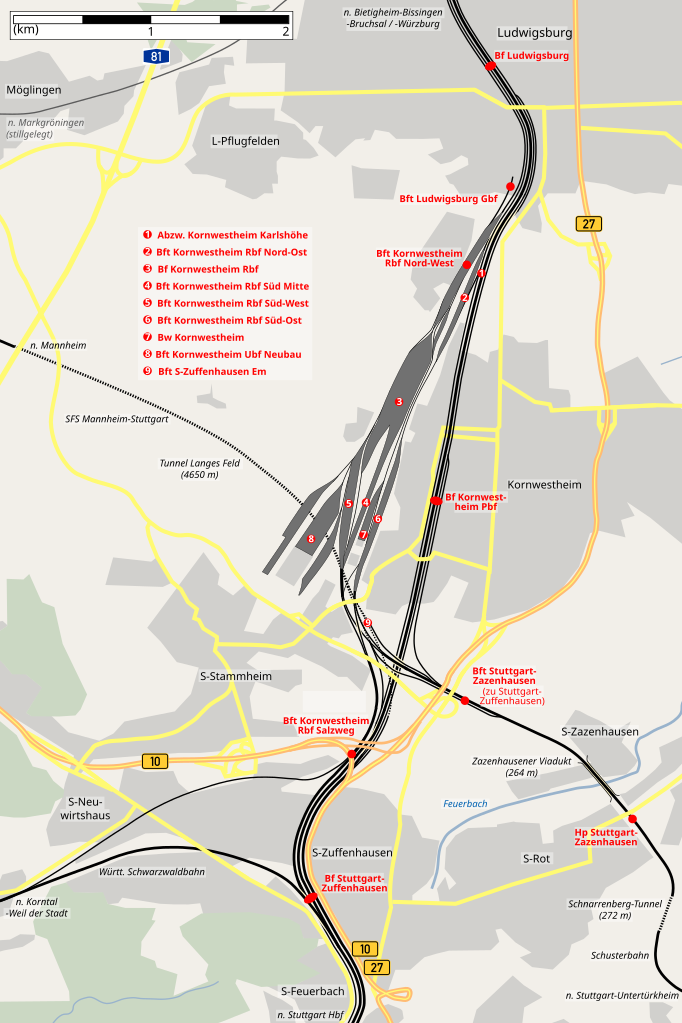
| Source | self-made, data taken from "Eisenbahnatlas Deutschland, Ausgabe 2005/2006" (ISBN 3-89494-134-0), "Die Eisenbahn im Kraichgau. Eisenbahngeschichte zwischen Rhein und Neckar." (ISBN 3-8825-5769-9), Abkürzungen der Betriebsstellen, Topographic map TK50 and Google Earth |
| Author | K. Jähne |
| Other versions | PNG version |
Licensing
[edit]
| This work has been released into the public domain by its author, kjunix. This applies worldwide. In some countries this may not be legally possible; if so: |
File history
Click on a date/time to view the file as it appeared at that time.
| Date/Time | Thumbnail | Dimensions | User | Comment | |
|---|---|---|---|---|---|
| current | 10:38, 18 May 2008 | | 1,000 × 1,500 (179 KB) | Kjunix (talk | contribs) | color enhancements, part II |
| 19:13, 12 October 2007 |  | 1,000 × 1,500 (166 KB) | Kjunix (talk | contribs) | color enhancement | |
| 09:44, 19 August 2007 |  | 1,000 × 1,500 (165 KB) | Kjunix (talk | contribs) | Font fix / workaround | |
| 09:43, 19 August 2007 |  | 1,000 × 1,500 (167 KB) | Kjunix (talk | contribs) | Font fix / workaround | |
| 18:23, 5 July 2007 |  | 1,000 × 1,500 (165 KB) | Kjunix (talk | contribs) | add remark about S-Zazenhausen | |
| 19:09, 1 July 2007 |  | 1,000 × 1,500 (164 KB) | Kjunix (talk | contribs) | == Description == {{Information| |Description = *{{de|Karte des Rangierbahnhofs Kornwestheim mit Umgebung.}} *{{en|map of Kornwestheim classification yard and surroundings.}} |Source = self-made, data taken from "Eisenbahnatlas Deutschland, Ausgabe 2005/2 |
You cannot overwrite this file.
File usage on Commons
The following 2 pages use this file: