File:Karte Irak.jpg
Jump to navigation
Jump to search

Size of this preview: 497 × 600 pixels. Other resolutions: 199 × 240 pixels | 398 × 480 pixels | 637 × 768 pixels | 849 × 1,024 pixels | 1,983 × 2,392 pixels.
Original file (1,983 × 2,392 pixels, file size: 1,008 KB, MIME type: image/jpeg)
Captions
Captions
Add a one-line explanation of what this file represents
Summary
[edit]
| Description |
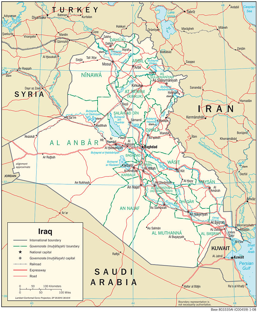
Deutsch: Karte der Verkehrsinfrastruktur des Iraks 2008 |
| Date | |
| Source | https://www.cia.gov/library/publications/cia-maps-publications/map-downloads/Iraq_Transportation.jpg/image.jpg |
| Author | Central Intelligence Agency |
Licensing
[edit]
This image is in the public domain because it contains materials that originally came from the United States Central Intelligence Agency's World Factbook.
|
 |
File history
Click on a date/time to view the file as it appeared at that time.
| Date/Time | Thumbnail | Dimensions | User | Comment | |
|---|---|---|---|---|---|
| current | 02:10, 8 November 2014 | | 1,983 × 2,392 (1,008 KB) | Soratak1 (talk | contribs) | {{Information |Description ={{de|1=Karte der Verkehrsinfrastruktur des Iraks 2008}} |Source =https://www.cia.gov/library/publications/cia-maps-publications/map-downloads/Iraq_Transportation.jpg/image.jpg |Author =Central Intelligence... |
You cannot overwrite this file.
File usage on Commons
The following page uses this file:
File usage on other wikis
The following other wikis use this file:
- Usage on de.wikipedia.org