File:Karte Gelsenkirchen Hassel.PNG
Jump to navigation
Jump to search
Size of this preview: 412 × 599 pixels. Other resolutions: 165 × 240 pixels | 330 × 480 pixels | 819 × 1,190 pixels.
Original file (819 × 1,190 pixels, file size: 73 KB, MIME type: image/png)
Captions
Captions
Add a one-line explanation of what this file represents
Summary
[edit]
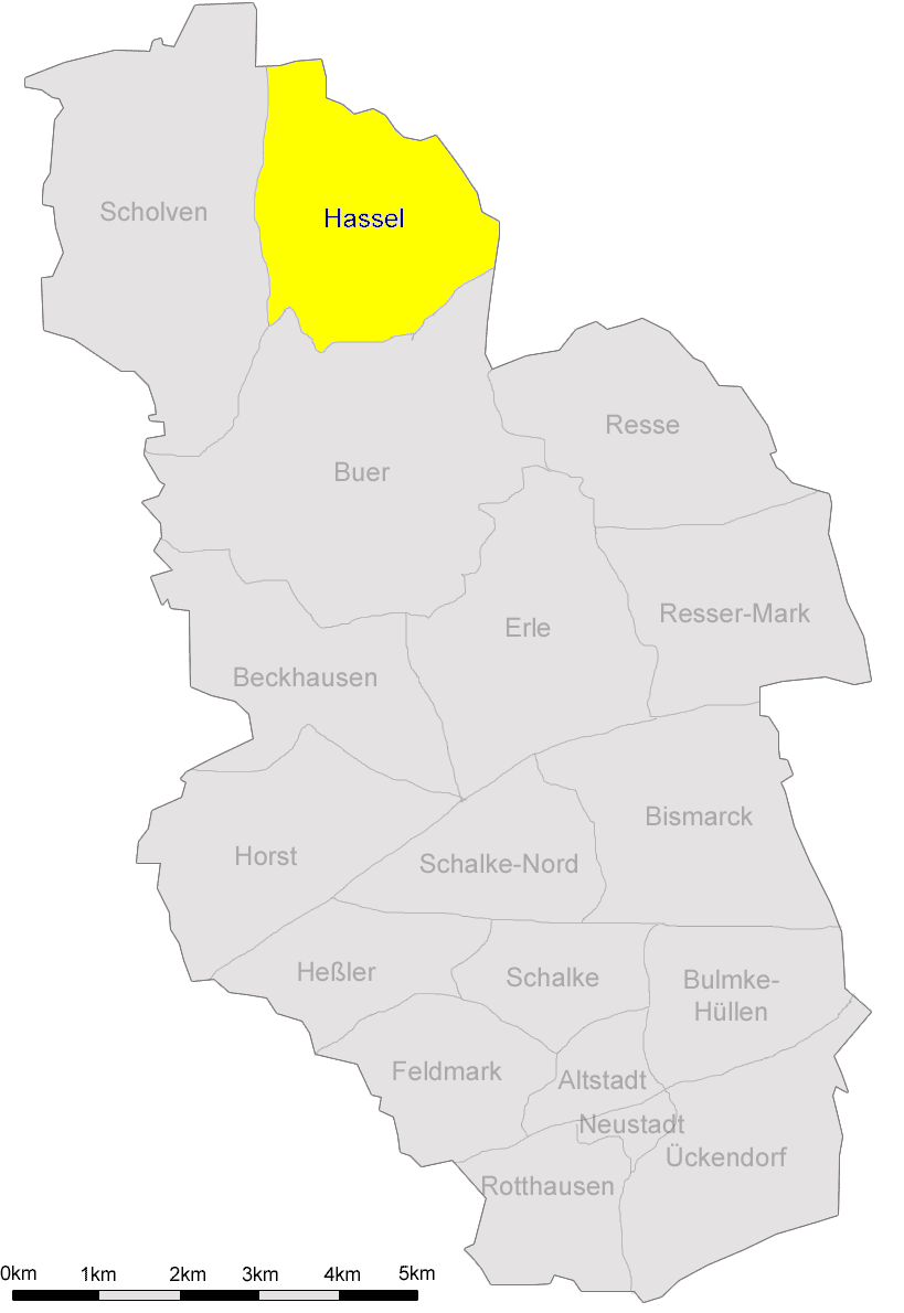
Karte der Stadtteile von Gelsenkirchen mit Markierung des Stadtteils Hassel. Originalkarte ohne markierten Stadtteil gezeichnet von Marc Schuelper
Licensing
[edit]

|
Permission is granted to copy, distribute and/or modify this document under the terms of the GNU Free Documentation License, Version 1.2 or any later version published by the Free Software Foundation; with no Invariant Sections, no Front-Cover Texts, and no Back-Cover Texts. A copy of the license is included in the section entitled GNU Free Documentation License. |
| This file is licensed under the Creative Commons Attribution-Share Alike 3.0 Unported license. | ||
| ||
| This licensing tag was added to this file as part of the GFDL licensing update. |
File history
Click on a date/time to view the file as it appeared at that time.
| Date/Time | Thumbnail | Dimensions | User | Comment | |
|---|---|---|---|---|---|
| current | 09:58, 10 March 2007 | | 819 × 1,190 (73 KB) | Wolfgang H. (talk | contribs) | == Beschreibung == Karte der Stadtteile von Gelsenkirchen mit Markierung des Stadtteils Hassel. Originalkarte ohne markierten Stadtteil gezeichnet von Marc Schuelper == Licensing == {{GFDL}} Category:Gelsenkirchen, Germany |
You cannot overwrite this file.
File usage on Commons
The following page uses this file:
File usage on other wikis
The following other wikis use this file:
- Usage on de.wikipedia.org
- Usage on nl.wikipedia.org
- Usage on tr.wikipedia.org
- Usage on www.wikidata.org