File:Karte Elsterwerda.jpg
Jump to navigation
Jump to search

Size of this preview: 788 × 599 pixels. Other resolutions: 316 × 240 pixels | 631 × 480 pixels | 1,010 × 768 pixels | 1,280 × 974 pixels | 2,560 × 1,947 pixels | 5,292 × 4,025 pixels.
Original file (5,292 × 4,025 pixels, file size: 3.19 MB, MIME type: image/jpeg)
Captions
Captions
Add a one-line explanation of what this file represents
Summary
[edit]
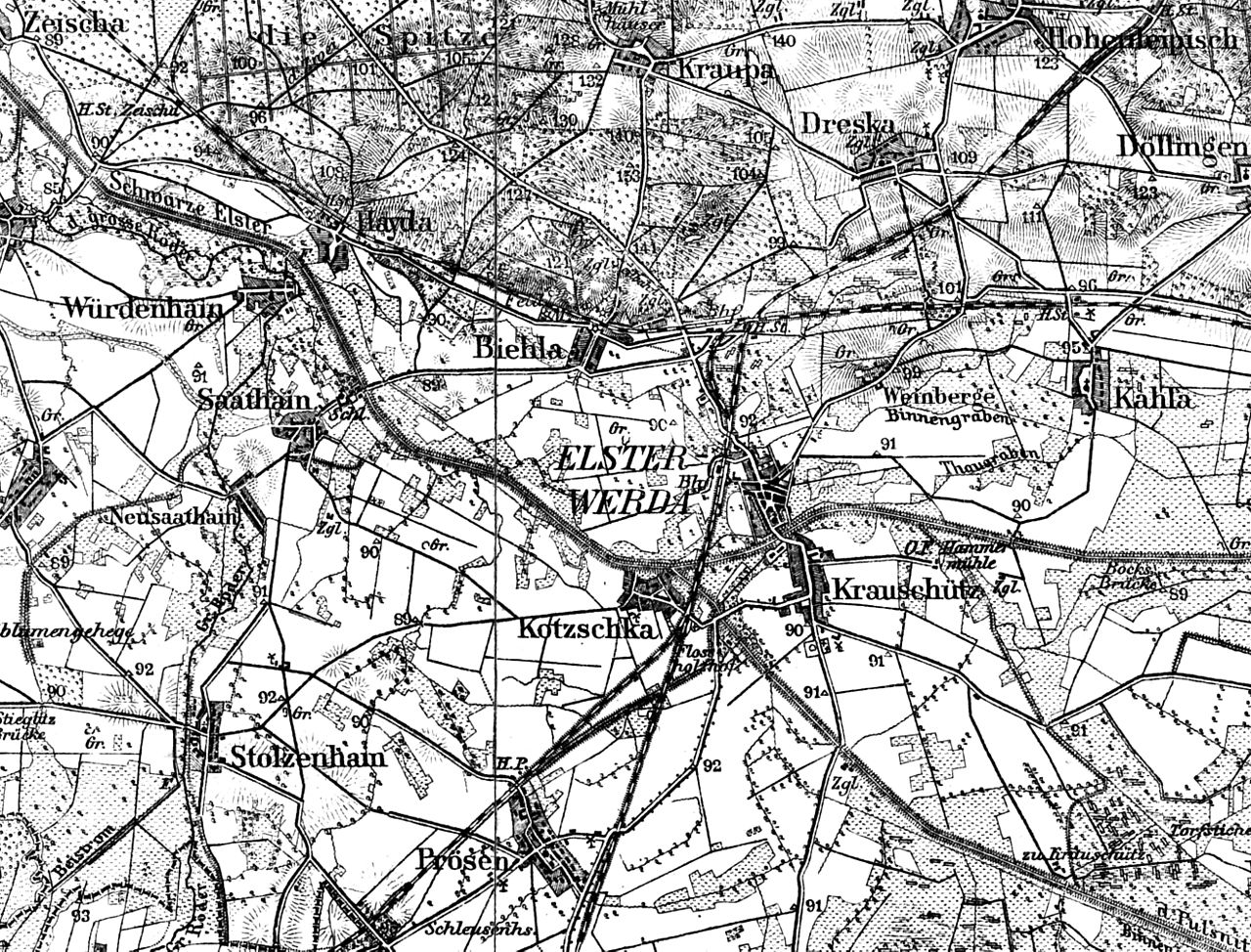
| Description | Ausschnitt Elsterwerda und Umgebung, aus Landkarte des Deutschen Reiches Nummer 392 Raum Großenhain, Umdruckausgabe von der Preussischen Landesaufnahme um 1890 |
| Date | circa 1890 |
| Source | own collection |
| Author | LutzBruno |
Licensing
[edit]
|
This work is in the public domain in its country of origin and other countries and areas where the copyright term is the author's life plus 70 years or fewer. | |
| This file has been identified as being free of known restrictions under copyright law, including all related and neighboring rights. | |
File history
Click on a date/time to view the file as it appeared at that time.
| Date/Time | Thumbnail | Dimensions | User | Comment | |
|---|---|---|---|---|---|
| current | 11:15, 3 March 2008 | | 5,292 × 4,025 (3.19 MB) | LutzBruno (talk | contribs) | {{Information |Description=Messblatt um 1904 Elsterwerda und Umgebung |Source=own collection |Date=ca 1904 |Author=LutzBruno |Permission= |other_versions= }} category:Elsterwerda |
You cannot overwrite this file.
File usage on Commons
The following page uses this file:
File usage on other wikis
The following other wikis use this file: