File:Karlštejn (vrch), CZ180320-010.jpg
Jump to navigation
Jump to search

Size of this preview: 800 × 450 pixels. Other resolutions: 320 × 180 pixels | 640 × 360 pixels | 1,024 × 576 pixels | 1,280 × 719 pixels | 2,560 × 1,439 pixels | 4,896 × 2,752 pixels.
Original file (4,896 × 2,752 pixels, file size: 4.72 MB, MIME type: image/jpeg)
Captions
Captions
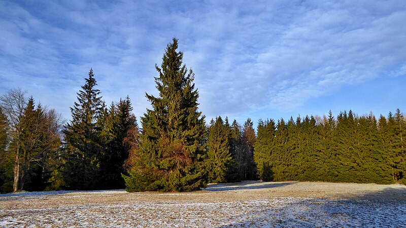
The top part of Karlštejn hill.
Summary
[edit],_CZ180320-010.jpg&action=edit§ion=1)
| Description |
English: The flat top part around the trigonometrical of point with name "Karlštejn" (783,4 m asl) on the cadastral territory of Svratouch, belonging to the Pardubice Region in the Czech Republic. The top of the georelief (the highest point of the terrain) is situated at an altitude of 784 m according to the contour map in the forest, a few dozen meters from the trigonometric point (in the photo on the right). Photo-location: Czechia, Pardubice Region, the village of "Svratouch", meadows in the top part of the hill "Karlštejn", azimuth 45°.
Čeština: Plochá vrcholová část kolem výškového – trigonometrického bodu Karlštejn (783,4 m n. m.) na katastrálním území Svratouch, náležejícím do Pardubického kraje v České republice. Vrchol georeliéfu (nejvyšší bod terénu) se dle vrstevnicové mapy nachází v nadmořské výšce 784 m v lesním porostu, několik desítek metrů od trigonometrického bodu (na fotografii vpravo). Foto-lokace: Česko, Pardubický kraj, obec Svratouch, louka ve vrcholové části kopce Karlštejn, azimut 45°. |
| Date | |
| Source | Own work |
| Author | Josef Kreuz (PEPan) |
| Camera location | | View this and other nearby images on: OpenStreetMap |
|---|
,_CZ180320-010.jpg¶ms=049.714817_N_0016.064347_E_globe:Earth_type:camera_heading:45.00&language=en)
Zdroje informací:
[edit],_CZ180320-010.jpg&action=edit§ion=2)
- AOPK ČR, chráněné krajinné oblasti – CHKO Žďárské vrchy, viz
- AOPK ČR, mapová aplikace – přírodní poměry, viz
- AOPK ČR, chráněná území – přírodní památka Zkamenělý zámek, viz
- ČGS, geologické lokality – rašeliniště Karlštejn, viz
- ČÚZK, základní mapa Česka – obec Svratouch a okolí, viz
- NPÚ ČR, památkový katalog – lovecký zámeček, viz
- Svratouch, obec – webové stránky, viz archive copy at the Wayback Machine
- Mapy.cz, turistická mapa – kompozice Svratouch / Karlštejn, viz
Licensing
[edit],_CZ180320-010.jpg&action=edit§ion=3)
I, the copyright holder of this work, hereby publish it under the following license:
This file is licensed under the Creative Commons Attribution-Share Alike 4.0 International license.
- You are free:
- to share – to copy, distribute and transmit the work
- to remix – to adapt the work
- Under the following conditions:
- attribution – You must give appropriate credit, provide a link to the license, and indicate if changes were made. You may do so in any reasonable manner, but not in any way that suggests the licensor endorses you or your use.
- share alike – If you remix, transform, or build upon the material, you must distribute your contributions under the same or compatible license as the original.
File history
Click on a date/time to view the file as it appeared at that time.
| Date/Time | Thumbnail | Dimensions | User | Comment | |
|---|---|---|---|---|---|
| current | 09:51, 8 May 2018 | | 4,896 × 2,752 (4.72 MB) | PEPan (talk | contribs) | User created page with UploadWizard |
You cannot overwrite this file.
File usage on Commons
There are no pages that use this file.
File usage on other wikis
The following other wikis use this file:
- Usage on cs.wikipedia.org
,_CZ180320-010.jpg&oldid=832778683)