File:Karkom (5).JPG
Original file (4,608 × 3,456 pixels, file size: 3.85 MB, MIME type: image/jpeg)
Captions
Summary
[edit]DescriptionKarkom (5).JPG |
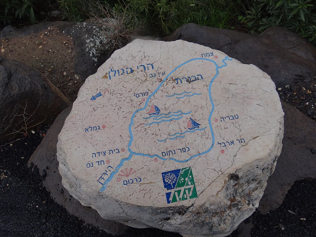
Karkom is a communal settlement in northern Israel near the Jordan River Israel כרכום הוא יישוב קהילתי ברמת כורזים, סמוך לערוץ הירדן ההררי מצפון לכנרת, בתחום המועצה האזורית מבואות החרמון. בכניסה ליישוב תצפית לעבר הכנרת ובקעת בית ציידא בשם "מצפה שגב" על שם בן היישוב. |
Date | |
Source | Own work |
Author | Hanay |
Permission (Reusing this file) |
This file is licensed under the Creative Commons Attribution-Share Alike 3.0 Unported license. Attribution: Hanay
|
File history
Click on a date/time to view the file as it appeared at that time.
Date/Time | Thumbnail | Dimensions | User | Comment | |
---|---|---|---|---|---|
current | 11:48, 14 May 2012 | 4,608 × 3,456 (3.85 MB) | Hanay (talk | contribs) |
You cannot overwrite this file.
File usage on Commons
The following page uses this file:
Metadata
This file contains additional information such as Exif metadata which may have been added by the digital camera, scanner, or software program used to create or digitize it. If the file has been modified from its original state, some details such as the timestamp may not fully reflect those of the original file. The timestamp is only as accurate as the clock in the camera, and it may be completely wrong.
Camera manufacturer | SONY |
---|---|
Camera model | DSC-HX100V |
Exposure time | 1/1,000 sec (0.001) |
F-number | f/2.8 |
ISO speed rating | 100 |
Date and time of data generation | 12:41, 28 January 2012 |
Lens focal length | 4.8 mm |
Orientation | Normal |
Horizontal resolution | 72 dpi |
Vertical resolution | 72 dpi |
File change date and time | 12:41, 28 January 2012 |
Y and C positioning | Co-sited |
Exposure Program | Normal program |
Exif version | 2.3 |
Date and time of digitizing | 12:41, 28 January 2012 |
Meaning of each component |
|
Image compression mode | 2 |
APEX brightness | 7.978125 |
APEX exposure bias | 0 |
Maximum land aperture | 3 APEX (f/2.83) |
Metering mode | Pattern |
Light source | Unknown |
Flash | Flash did not fire, compulsory flash suppression |
Supported Flashpix version | 1 |
Color space | sRGB |
File source | Digital still camera |
Scene type | A directly photographed image |
Custom image processing | Normal process |
Exposure mode | Auto exposure |
White balance | Auto white balance |
Digital zoom ratio | 1 |
Scene capture type | Standard |
Contrast | Normal |
Saturation | Normal |
Sharpness | Normal |
Receiver status | Measurement interoperability |
Reference for direction of image | Magnetic direction |
Direction of image | 153.5 |
Geodetic survey data used | WGS-84 |
GPS differential correction | 0 |
GPS tag version | 0.0.3.2 |