File:Kamoi-Kamiiida-Line (road construction) Honjyuku-Sachigaoka D - West side of the Futamatagawa Station 01Rb (2017).jpg
Jump to navigation
Jump to search

Size of this preview: 799 × 600 pixels. Other resolutions: 320 × 240 pixels | 639 × 480 pixels | 1,023 × 768 pixels | 1,280 × 961 pixels | 2,560 × 1,922 pixels | 3,215 × 2,414 pixels.
Original file (3,215 × 2,414 pixels, file size: 1.64 MB, MIME type: image/jpeg)
Captions
Captions
Add a one-line explanation of what this file represents
Summary
[edit]| Description |
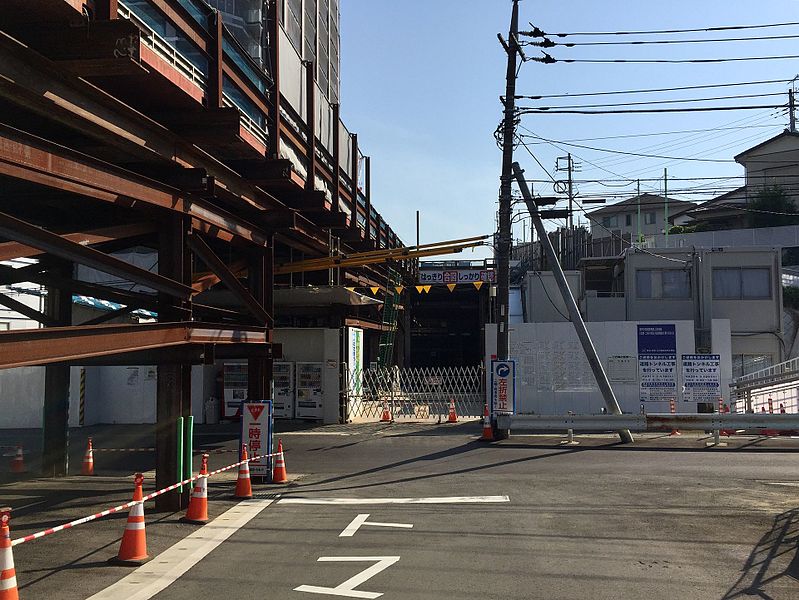
日本語: 横浜市都市計画道路「鴨居上飯田線」の本宿〜さちが丘整備事業(2017年現在事業中)、二俣川駅南口エリア南西側のトンネル整備現場。2017年5月時点の整備進捗状況(掘削工事は西側の120m程完了しており、現在はトンネル本体の工事が進行中)。 ※なお、左上に見えるのは暫定設置された工事用道路で、最終的(トンネル供用時)には撤去される。 |
| Date | |
| Source | Own work |
| Author | Thirteen-fri |
| Other versions |
_Honjyuku-Sachigaoka_D_-_West_side_of_the_Futamatagawa_Station_01.JPG)
_Honjyuku-Sachigaoka_D_-_West_side_of_the_Futamatagawa_Station_01Rb2_(2017).jpg)
_Honjyuku-Sachigaoka_D_-_West_side_of_the_Futamatagawa_Station_01Rc2_(2017).jpg)
_Honjyuku-Sachigaoka_D_-_West_side_of_the_Futamatagawa_Station_01Rb_(2017).jpg&action=edit§ion=1)
| Camera location | | View this and other nearby images on: OpenStreetMap |
|---|
_Honjyuku-Sachigaoka_D_-_West_side_of_the_Futamatagawa_Station_01Rb_(2017).jpg¶ms=035.461414_N_0139.531158_E_globe:Earth_type:camera_heading:53.30&language=en)
Licensing
[edit]_Honjyuku-Sachigaoka_D_-_West_side_of_the_Futamatagawa_Station_01Rb_(2017).jpg&action=edit§ion=2)
I, the copyright holder of this work, hereby publish it under the following license:
This file is licensed under the Creative Commons Attribution-Share Alike 4.0 International license.
- You are free:
- to share – to copy, distribute and transmit the work
- to remix – to adapt the work
- Under the following conditions:
- attribution – You must give appropriate credit, provide a link to the license, and indicate if changes were made. You may do so in any reasonable manner, but not in any way that suggests the licensor endorses you or your use.
- share alike – If you remix, transform, or build upon the material, you must distribute your contributions under the same or compatible license as the original.
File history
Click on a date/time to view the file as it appeared at that time.
| Date/Time | Thumbnail | Dimensions | User | Comment | |
|---|---|---|---|---|---|
| current | 17:02, 21 May 2017 | | 3,215 × 2,414 (1.64 MB) | Thirteen-fri (talk | contribs) | User created page with UploadWizard |
You cannot overwrite this file.
File usage on Commons
The following 2 pages use this file:
File usage on other wikis
The following other wikis use this file:
- Usage on ja.wikipedia.org
_Honjyuku-Sachigaoka_D_-_West_side_of_the_Futamatagawa_Station_01Rb_(2017).jpg&oldid=457134308)