File:Kamień Pomorski (gmina) location map.png
Jump to navigation
Jump to search
Size of this preview: 663 × 599 pixels. Other resolutions: 266 × 240 pixels | 531 × 480 pixels | 1,007 × 910 pixels.
Original file (1,007 × 910 pixels, file size: 148 KB, MIME type: image/png)
Captions
Captions
Add a one-line explanation of what this file represents
| Description |
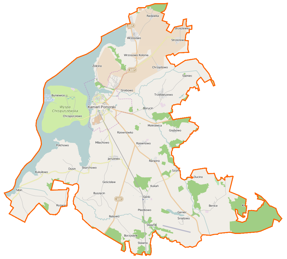
Polski: Mapa gminy Kamień Pomorski, Polska
English: Map of Gmina Kamień Pomorski, Poland |
|||||||||
| Date | ||||||||||
| Source | You may find a page on the OpenStreetMap wiki page for Kamień Pomorski (gmina) | |||||||||
| Creator |
OpenStreetMap contributors OpenStreetMap contributors |
|||||||||
| Permission (Reusing this file) |
OpenStreetMap data is available under the Open Database License (details). Map tiles are licensed under the Creative Commons Attribution-ShareAlike 2.0 license (CC-BY-SA 2.0).
This file is licensed under the Creative Commons Attribution-Share Alike 2.0 Generic license.
|
|||||||||
| Geotemporal data | ||||||||||
| Bounding box |
|
|||||||||
| Georeferencing | If inappropriate please set warp_status = skip to hide. | |||||||||
File history
Click on a date/time to view the file as it appeared at that time.
| Date/Time | Thumbnail | Dimensions | User | Comment | |
|---|---|---|---|---|---|
| current | 06:14, 20 March 2015 | | 1,007 × 910 (148 KB) | VanWiel (talk | contribs) | {{OpenStreetMap | name = Kamień Pomorski (gmina) | location = Kamień Pomorski (gmina) | description = {{pl|Mapa gminy Kamień Pomorski, Polska}} {{en|Map of Gmina Kamień Pomorski, Poland}} | top = 54.040... |
You cannot overwrite this file.
File usage on Commons
The following page uses this file:
File usage on other wikis
The following other wikis use this file:
- Usage on fr.wikipedia.org
- Benice (Poméranie-Occidentale)
- Borucin (Poméranie-Occidentale)
- Buniewice
- Buszęcin
- Chrząstowo (Poméranie-Occidentale)
- Chrząszczewko
- Chrząszczewo (Poméranie-Occidentale)
- Ducino
- Dusin
- Ganiec
- Giżkowo
- Górki (Kamień)
- Grabowo (Kamień)
- Grębowo
- Jarszewo
- Jarzysław (Kamień)
- Kukułowo
- Miłachowo (Poméranie-Occidentale)
- Mokrawica
- Płastkowo
- Połchowo (Kamień)
- Radawka (Poméranie-Occidentale)
- Rarwino (Kamień)
- Rekowo (Kamień Pomorski)
- Rozwarowo
- Rzewnowo
- Sibin (Pologne)
- Skarchowo
- Śniatowo
- Stawno (Kamień)
- Strzeżewko
- Strzeżewo (Kamień)
- Świniec (Poméranie-Occidentale)
- Szumiąca (Poméranie-Occidentale)
- Trzebieszewo
- Wrzosowo (Kamień)
- Żółcino
- Usage on pl.wikipedia.org
View more global usage of this file.
_location_map.png)
_location_map.png&oldid=519969039)