File:Kaart Leopoldsburg-Lommel 1867.jpg
Jump to navigation
Jump to search
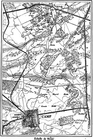
Size of this preview: 398 × 600 pixels. Other resolutions: 159 × 240 pixels | 318 × 480 pixels | 510 × 768 pixels | 680 × 1,024 pixels | 1,556 × 2,344 pixels.
Original file (1,556 × 2,344 pixels, file size: 997 KB, MIME type: image/jpeg)
Captions
Captions
Add a one-line explanation of what this file represents
Summary
[edit]
| Description |
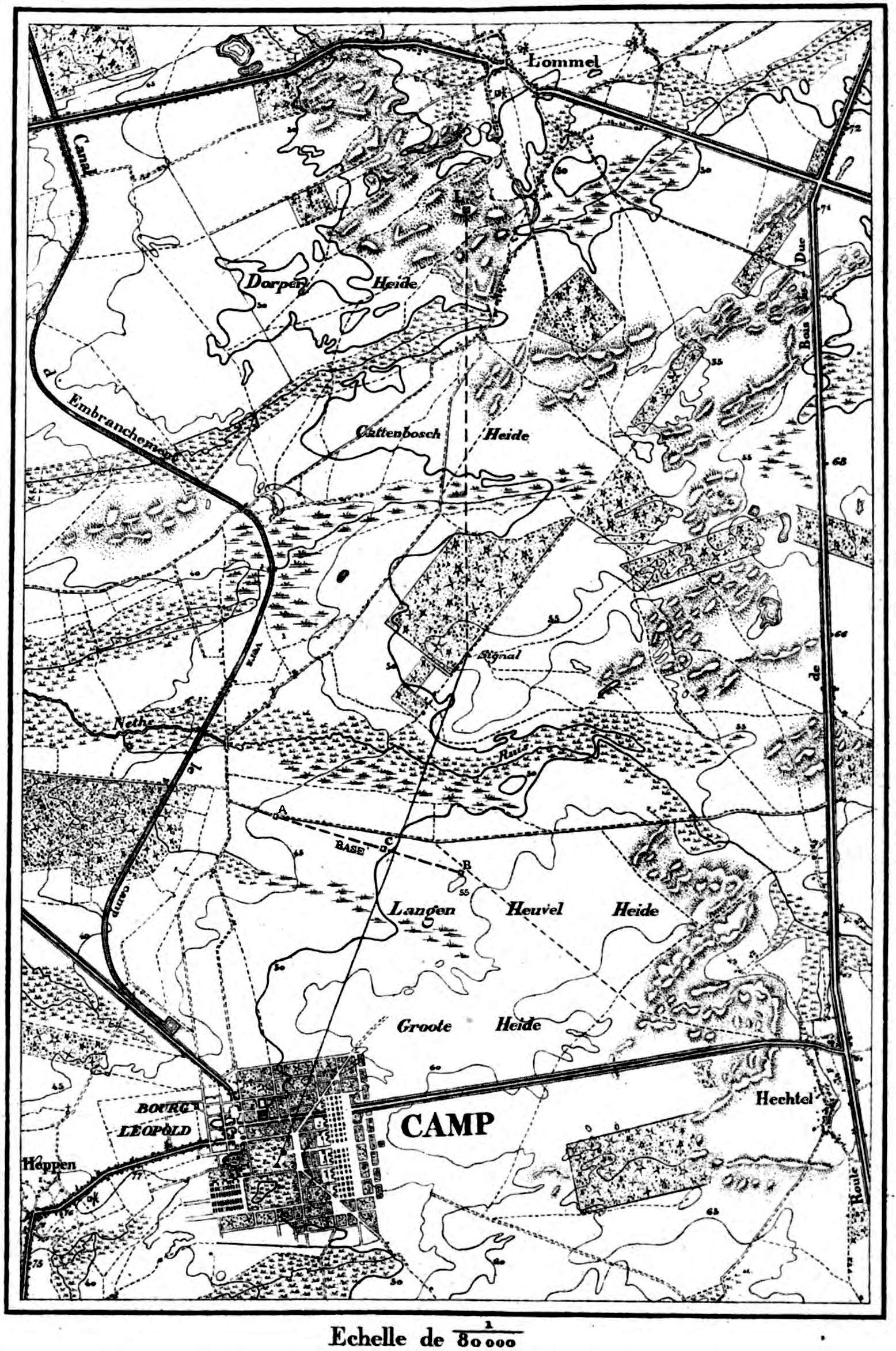
Nederlands: Topografische kaart gepubliceert in 1867 met de Geodetische Basis van Lommel
Français : Carte topographique de 1867 (avec base géodésique de Lommel) montrant qu'à cette époque le paysage était moins anthropisé à Lommel qu'au sud de la commune. Des dunes, landes et zones humides étaient encore très présentes |
| Date | |
| Source |
Triangulation du Royaume de Belgique, Institut cartographique militaire, 1867 in https://books.google.be/books?id=hu9EAQAAMAAJ&pg=RA1-PA205&dq=triangulation+de+la+belgique&hl=nl&source=gbs_selected_pages&cad=2#v=onepage&q=triangulation%20de%20la%20belgique&f=false |
| Author | Institut cartographique militaire |
Licensing
[edit]
|
This work is in the public domain in its country of origin and other countries and areas where the copyright term is the author's life plus 70 years or fewer. This work is in the public domain in the United States because it was published (or registered with the U.S. Copyright Office) before January 1, 1929. | |
| This file has been identified as being free of known restrictions under copyright law, including all related and neighboring rights. | |
File history
Click on a date/time to view the file as it appeared at that time.
| Date/Time | Thumbnail | Dimensions | User | Comment | |
|---|---|---|---|---|---|
| current | 16:25, 8 June 2017 | | 1,556 × 2,344 (997 KB) | Eebie (talk | contribs) | User created page with UploadWizard |
You cannot overwrite this file.
File usage on Commons
There are no pages that use this file.
File usage on other wikis
The following other wikis use this file:
- Usage on nl.wikipedia.org