File:KZ Turkistan Region Outline.svg
Jump to navigation
Jump to search

Size of this PNG preview of this SVG file: 399 × 600 pixels. Other resolutions: 159 × 240 pixels | 319 × 480 pixels | 511 × 768 pixels | 681 × 1,024 pixels | 1,362 × 2,048 pixels | 798 × 1,200 pixels.
Original file (SVG file, nominally 798 × 1,200 pixels, file size: 383 KB)
Captions
Captions
Add a one-line explanation of what this file represents
Summary
[edit]| Description |
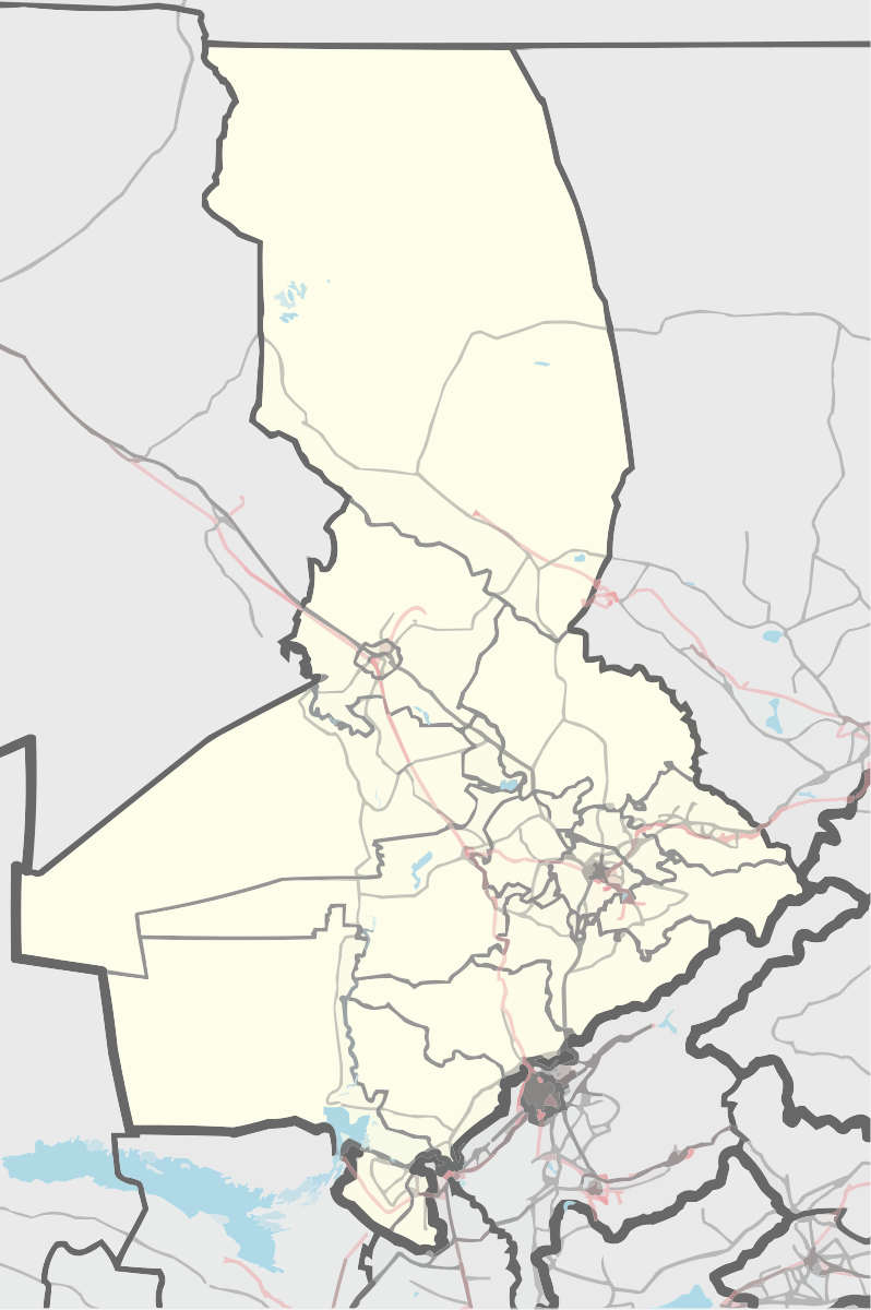
English: Turkistan Region outline map.
Русский: Казахстан Туркестанская область контурная карта |
|||||||||
| Date | ||||||||||
| Source |
|
|||||||||
| Creator |
Nzeemin and OpenStreetMap contributors |
|||||||||
| Geotemporal data | ||||||||||
| Bounding box |
|
|||||||||
| Georeferencing | If inappropriate please set warp_status = skip to hide. | |||||||||
| Other versions |
|
|||||||||

Licensing
[edit]
| Description |
This map was created from OpenStreetMap project data, collected by the community. This map may be incomplete, and may contain errors. Don't rely solely on it for navigation. |
|||
| Date | (see file history) | |||
| Source | openstreetmap.org | |||
| Creator |
OpenStreetMap contributors |
|||
| Permission (Reusing this file) |
OpenStreetMap data is available under the Open Database License (details). Map tiles are licensed under the Creative Commons Attribution-ShareAlike 2.0 license (CC-BY-SA 2.0).
This file is licensed under the Creative Commons Attribution-Share Alike 2.0 Generic license.
|
|||
| Georeferencing | If inappropriate please set warp_status = skip to hide. |
File history
Click on a date/time to view the file as it appeared at that time.
| Date/Time | Thumbnail | Dimensions | User | Comment | |
|---|---|---|---|---|---|
| current | 18:02, 2 September 2023 | | 798 × 1,200 (383 KB) | Casserium (talk | contribs) | Arys District |
| 20:12, 18 August 2018 |  | 2,000 × 3,007 (1.33 MB) | Вальдимар (talk | contribs) | Borders in Kentau - Turkestan | |
| 19:28, 10 August 2018 |  | 2,000 × 3,007 (1.34 MB) | Вальдимар (talk | contribs) | created 2 new rayons | |
| 17:17, 9 April 2016 |  | 413 × 621 (3.2 MB) | Nzeemin (talk | contribs) | User created page with UploadWizard |
You cannot overwrite this file.
File usage on Commons
The following 3 pages use this file:
File usage on other wikis
The following other wikis use this file:
- Usage on be.wikipedia.org
- Usage on ce.wikipedia.org
- Шымкент
- Черноводск
- Карасу (Туркестанан область)
- Ленгер
- Акниет (Мактааралан кӀошт)
- Аксу (Келесин кӀошт)
- Атажурт
- Атамура
- Бесауыл
- Бесторангыл
- Дастан
- Егизкум
- Енкес
- Алпамыс (эвла)
- Жылысу
- Зортобе
- Исфиджаб
- Косоткел
- Куркелес
- Молыке Шойманов
- Мырзатобе
- Нурлыжол (Мактааралан кӀошт)
- Саркырама (Мактааралан кӀошт)
- Торткуль
- Туран (Туркестанан область)
- Тынтобе
- 28 гвардейцев
- Онимгер
- 40 лет Казахской ССР
- 40 лет Победы
- Абаил
- Абай (Мактааралан кӀошт)
- Абай (Келесин кӀошт)
- Таскескен (Туркестанан область)
- Абай (Сузакан кӀошт)
- Абай (Толебийнан кӀошт)
- Абай (Тюлькубасан кӀошт)
- Абдилабад
- Абдихалык
- Абибола
- Агынсай
- Адената
- Азамат (Туркестанан область)
- Азат (Туркестанан область)
- Азатлык (Тюлькубасан кӀошт)
- Азаттык (Мактааралан кӀошт)
- Айгене
View more global usage of this file.