File:KZ Almaty Region Outline.svg
Jump to navigation
Jump to search

Size of this PNG preview of this SVG file: 770 × 599 pixels. Other resolutions: 308 × 240 pixels | 617 × 480 pixels | 987 × 768 pixels | 1,280 × 996 pixels | 2,560 × 1,993 pixels | 2,000 × 1,557 pixels.
Original file (SVG file, nominally 2,000 × 1,557 pixels, file size: 971 KB)
Captions
Captions
Add a one-line explanation of what this file represents
Summary
[edit]| Description |
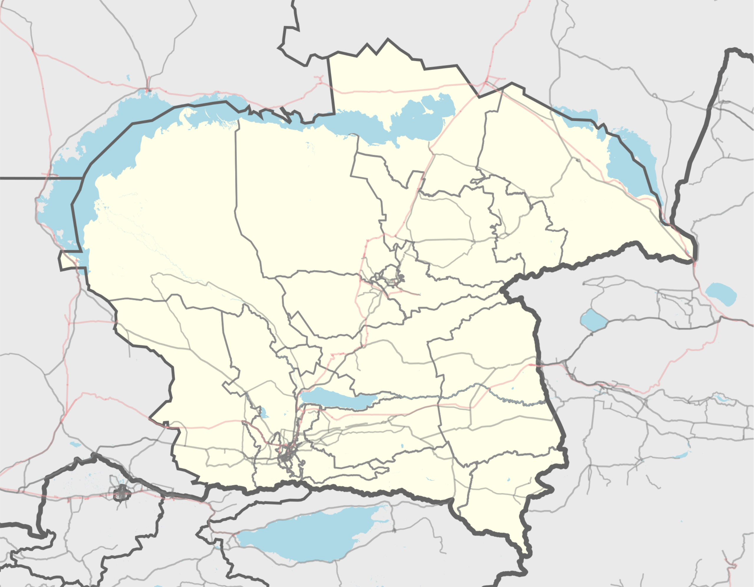
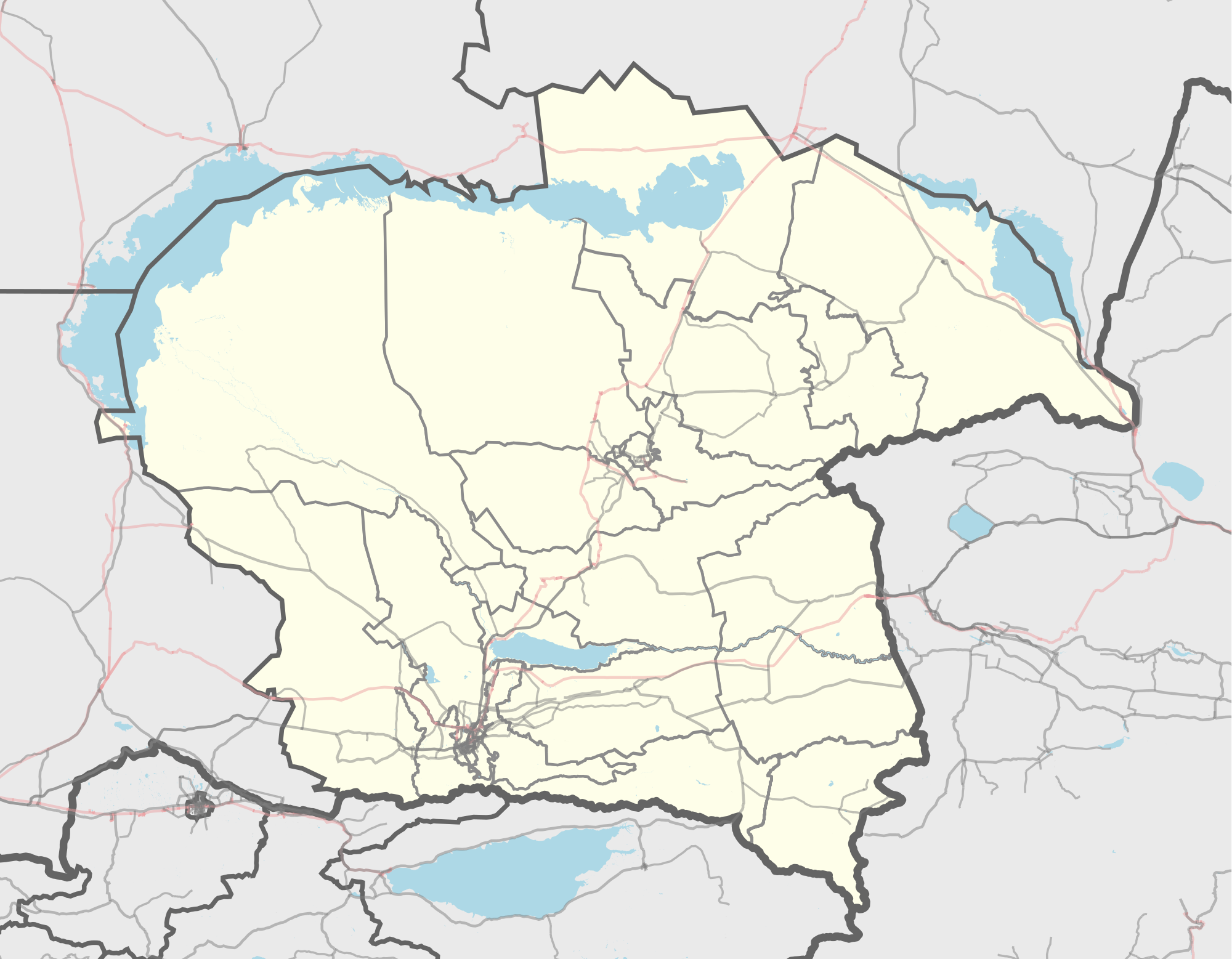
English: Kazakhstan Almaty Region outline map.
Русский: Казахстан Алматинская область контурная карта |
|||||||||
| Date | ||||||||||
| Source |
|
|||||||||
| Creator |
Nzeemin and OpenStreetMap contributors |
|||||||||
| Geotemporal data | ||||||||||
| Bounding box |
|
|||||||||
| Georeferencing | If inappropriate please set warp_status = skip to hide. | |||||||||
| Other versions |
|
|||||||||

Licensing
[edit]
| Description |
This map was created from OpenStreetMap project data, collected by the community. This map may be incomplete, and may contain errors. Don't rely solely on it for navigation. |
|||
| Date | (see file history) | |||
| Source | openstreetmap.org | |||
| Creator |
OpenStreetMap contributors |
|||
| Permission (Reusing this file) |
OpenStreetMap data is available under the Open Database License (details). Map tiles are licensed under the Creative Commons Attribution-ShareAlike 2.0 license (CC-BY-SA 2.0).
This file is licensed under the Creative Commons Attribution-Share Alike 2.0 Generic license.
|
|||
| Georeferencing | If inappropriate please set warp_status = skip to hide. |
File history
Click on a date/time to view the file as it appeared at that time.
| Date/Time | Thumbnail | Dimensions | User | Comment | |
|---|---|---|---|---|---|
| current | 04:38, 19 March 2022 | | 2,000 × 1,557 (971 KB) | RustamAug (talk | contribs) | Reverted to version as of 20:24, 10 August 2018 (UTC) |
| 22:36, 14 March 2022 |  | 512 × 399 (2.11 MB) | ShadZ01 (talk | contribs) | Converted into SVG | |
| 20:24, 10 August 2018 |  | 2,000 × 1,557 (971 KB) | Вальдимар (talk | contribs) | created new rayon | |
| 15:09, 9 April 2016 |  | 804 × 626 (2.97 MB) | Nzeemin (talk | contribs) | User created page with UploadWizard |
You cannot overwrite this file.
File usage on Commons
The following 3 pages use this file:
File usage on other wikis
The following other wikis use this file:
- Usage on be.wikipedia.org
- Usage on ce.wikipedia.org
- Талдыкорган
- Коктал (Балхашан кӀошт)
- Кеп:Меттиган карта Кхазакхстан Алматан область
- Арна (Капшагай гӀалин администраци)
- Байтерек (Алматан область)
- Баянбай (Саркандан кӀошт)
- Булакты (Алаколан кӀошт)
- Дихан (Алматан область)
- Жыланды (Алматан область)
- 10 лет Казахстана
- 50 лет Казахстана
- Абай (Карасайн кӀошт)
- Абай (Саркандан кӀошт)
- Абай (Ескельдинан кӀошт)
- Ават (Енбекшикхазакхийн кӀошт)
- Ават (Панфиловн кӀошт)
- Ават (Уйгурийн кӀошт)
- Азат (Алматан область)
- Айдар (Алматан область)
- Айдарлы (Жамбылан кӀошт)
- Айдарлы (Панфиловн кӀошт)
- Айкым
- Аймен
- Айнабулак
- Айпара (Алматан область)
- Айтей (Алматан область)
- Айту
- Акарал
- Акбастау (Енбекшикхазакхийн кӀошт)
- Акбастау (Кербулакан кӀошт)
- Акбеит (Алматан область)
- Акбулак (Алматан область)
- Акбалык (Алматан область)
- Акдала (Акдалан йуьртан гуо)
- Акдала (Балатопаран йуьртан гуо)
- Акдала (Жамбылан кӀошт)
- Акдала (Талгаран кӀошт)
- Акешки
- Акжазык
- Акжал
- Акжар (Алаколан кӀошт)
- Акжар (Караталан кӀошт)
- Акжар (Карасайн кӀошт)
- Акиык
- Аккайнар (Алматан область)
- Аккент
- Акколь (Алматан область)
- Аккудык (Алматан область)
View more global usage of this file.