File:KG-CHU-CHU.svg
Jump to navigation
Jump to search

Size of this PNG preview of this SVG file: 229 × 261 pixels. Other resolutions: 211 × 240 pixels | 421 × 480 pixels | 674 × 768 pixels | 898 × 1,024 pixels | 1,797 × 2,048 pixels.
Original file (SVG file, nominally 229 × 261 pixels, file size: 736 KB)
Captions
Captions
Add a one-line explanation of what this file represents
Summary
[edit]
| Description |
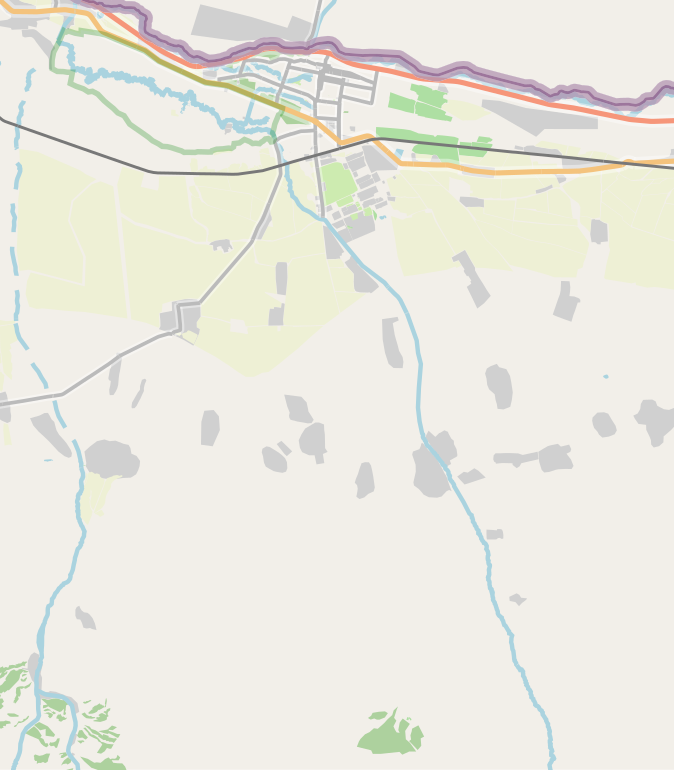
Русский: Карта, Чуйский район Чуйской области |
| Date | |
| Source | openstreetmap.org |
| Author | OpenStreetMap contributors |
Licensing
[edit]
| Description |
This map was created from OpenStreetMap project data, collected by the community. This map may be incomplete, and may contain errors. Don't rely solely on it for navigation. |
|||
| Date | (see file history) | |||
| Source | openstreetmap.org | |||
| Creator |
OpenStreetMap contributors |
|||
| Permission (Reusing this file) |
OpenStreetMap data is available under the Open Database License (details). Map tiles are licensed under the Creative Commons Attribution-ShareAlike 2.0 license (CC-BY-SA 2.0).
This file is licensed under the Creative Commons Attribution-Share Alike 2.0 Generic license.
|
|||
| Georeferencing | If inappropriate please set warp_status = skip to hide. |
File history
Click on a date/time to view the file as it appeared at that time.
| Date/Time | Thumbnail | Dimensions | User | Comment | |
|---|---|---|---|---|---|
| current | 08:44, 10 March 2021 | | 229 × 261 (736 KB) | Kmaksat (talk | contribs) | Uploaded a work by OpenStreetMap contributors from openstreetmap.org with UploadWizard |
You cannot overwrite this file.
File usage on Commons
There are no pages that use this file.
File usage on other wikis
The following other wikis use this file:
- Usage on en.wikipedia.org
- Usage on ky.wikipedia.org
- Usage on ru.wikipedia.org
- Чуйский район
- Шамшы (Чуйская область)
- Чон-Джар (Чуйский район)
- Ак-Бешим
- Виноградное (Чуйский район)
- Садовое (Чуйский район)
- Ден-Арык
- Алга (Чуйская область)
- Бурана
- Мээнеткеч
- Джаны-Джол (Чуйский район)
- Сайлык
- Шаблон:ПозКарта Кыргызстан Чуйская область Чуйский район
- Карагул
- Кош-Кашат
- Арал (Чуйский район)
- Чуй (село)
- Джаны-Чек
- Прогресс (Чуйская область)
- Кайырма (Чуйский район)
- Маданият (Чуйская облась)
- Онбир-Джылга
- Кош-Коргон (Чуйская область)
- Арпа-Тектир (Чуйская область)
- Кегети
- Акматбек
- Советское (Чуйский район)
- Село имени Чапаева (Чуйская область)
- Кара-Дебе (Чуйский район)
- Восточное (Кыргызстан)
- Джаны-Турмуш (Чуйская область)
- Железнодорожное (Чуйская область)
- Искра (Чуйская область)
- Кошой
- Кара-Ой (Чуйская область)
- Кызыл-Аскер (Чуйская область)
- Село имени Ленина (Чуйская область)
- Ленин-Джол (Чуйская область)
- Калыгул
- Usage on si.wikipedia.org